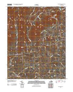
2010 Map of Boonsboro
USGS Topo · Published 2010About this map
Coleman Falls sits along the James River at the northern edge of this Piedmont landscape, where the terrain rises into the foothills of the Blue Ridge. The area around Boonsboro and the outskirts of Lynchburg shows a transition from rural timber and farmland to suburban development. A concentration of heritage sites is found in the southern reaches, including the North Cemetery, Norwood Cemetery, and Virginia Memorial Park near the community of Norwood.
Find a feature on this map
65 named features on this map. Tap any name to fly to it.
Don’t see what you’re looking for? This feature index may not catch every label — zoom into the map to look around manually.
Map Details
Editions of this 2010 Boonsboro Map
This is the sole edition of this map. No revisions or reprints were ever made.
Other maps of this area

1892 · Lynchburg
USGS Topo · 1:125,000

1894 · Lexington
USGS Topo · 1:125,000

1935 · Buena Vista
USGS Topo · 1:48,000

1935 · Amherst
USGS Topo · 1:48,000

1939 · Amherst
USGS Topo · 1:62,500

1939 · Buena Vista
USGS Topo · 1:62,500

1940 · Buena Vista
USGS Topo · 1:62,500

1944 · Lynchburg
USGS Topo · 1:62,500

1947 · Roanoke
USGS Topo · 1:250,000

1950 · Goode
USGS Topo · 1:62,500