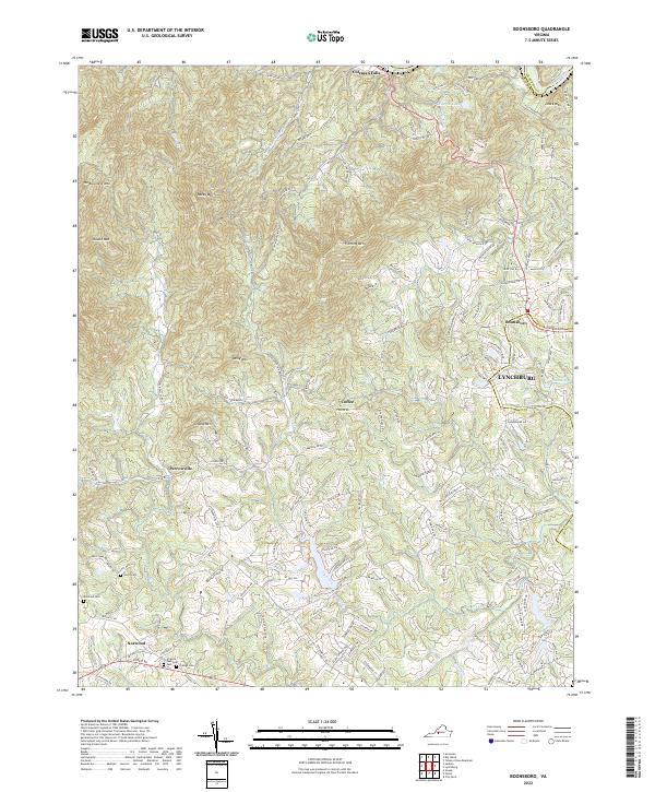
2022 Map of Boonsboro
USGS Topo · Published 2022About this map
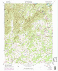
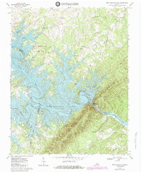
Coleman Falls sits along the northern edge of this landscape where the James River cuts through the terrain, while the residential expansion of Lynchburg presses into the eastern foothills. This contemporary 2022 survey captures a mix of established rural settlements like Perrowville, Norwood, and Coffee alongside newer suburban developments near Boonsboro. The map provides excellent detail for genealogists, showing several burial sites including North Cem, Norwood Cem, and the Grange Cem, as well as the larger Virginia Memorial Park. A series of prominent summits, including Fleming Mtn, Dolly Mtn, and Grassy Mtn, define the central relief. The network of smaller waterways such as Judith Cr and Ivy Creek drain toward the river, illustrating the natural geography that has shaped the area's development from its agricultural roots to its current residential character.
Find a feature on this map
122 named features on this map. Tap any name to fly to it.
Don’t see what you’re looking for? This feature index may not catch every label — zoom into the map to look around manually.
Map Details
Editions of this 2022 Boonsboro Map
This is the sole edition of this map. No revisions or reprints were ever made.
Historical Maps of Forest Through Time
27 maps found
1950 Goode
Bedford County, VA
1950 Peaks of Otter
Bedford County, VA
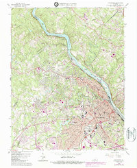
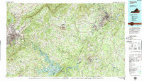
1963 Lynchburg
Bedford County, VA
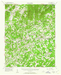
1965 Boonsboro
Bedford County, VA
1965 Goode
Bedford County, VA
1965 Sedalia
Bedford County, VA
1966 Huddleston
Bedford County, VA
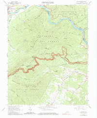
1966 Snowden
Bedford County, VA
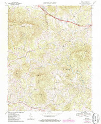
1967 Goodview
Bedford County, VA
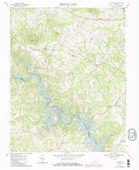
1967 Irving
Bedford County, VA
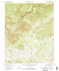
1967 Peaks Of Otter
Bedford County, VA
1967 Smith Mountain Dam
Bedford County, VA
1977 Lynchburg
Bedford County, VA
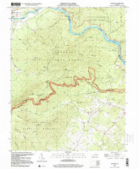
1977 Peaks of Otter
Bedford County, VA
1977 Smith Mountain Dam
Bedford County, VA
1985 Roanoke
Bedford County, VA
1999 Snowden
Bedford County, VA
2022 Boonsboro
Bedford County, VA
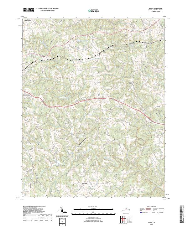
2022 Goode
Bedford County, VA
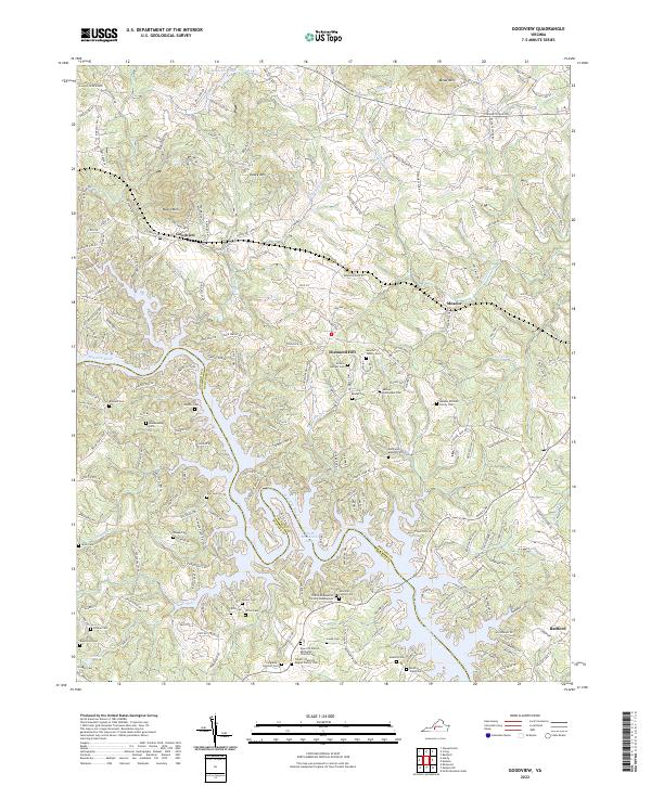
2022 Goodview
Bedford County, VA
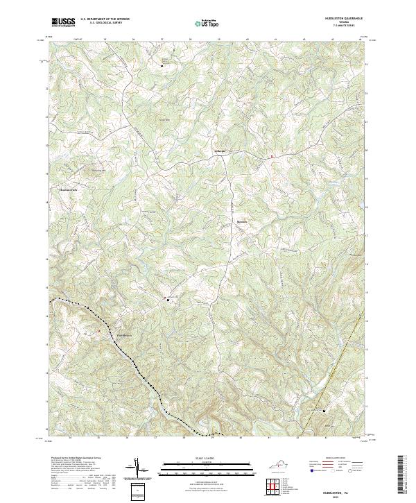
2022 Huddleston
Bedford County, VA
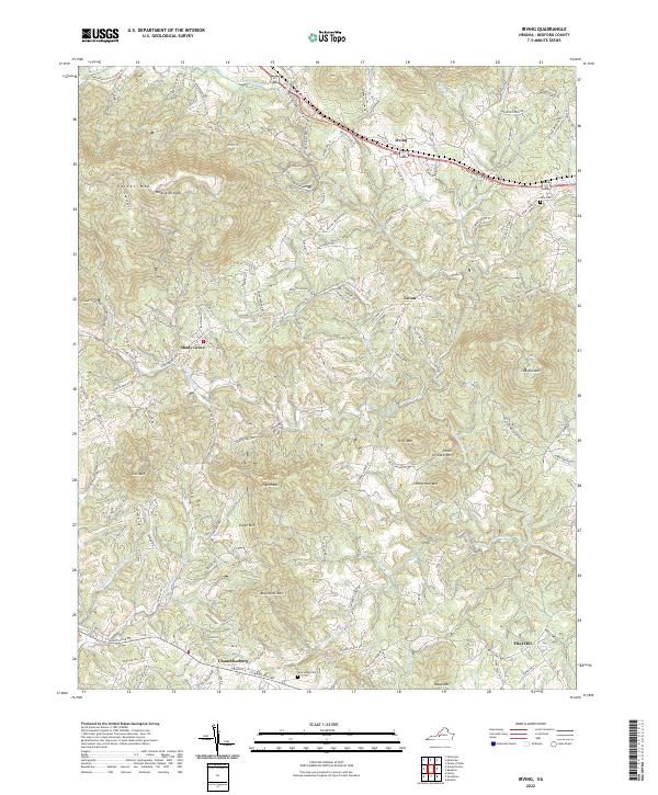
2022 Irving
Bedford County, VA
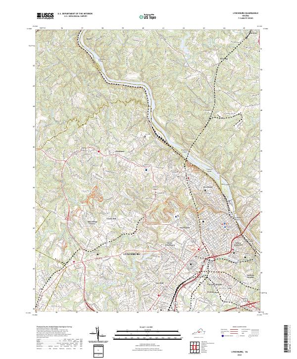
2022 Lynchburg
Bedford County, VA
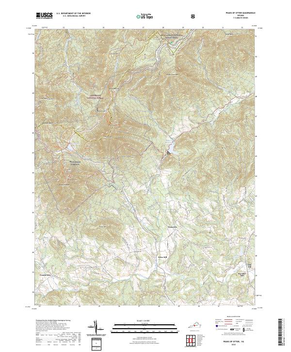
2022 Peaks of Otter
Bedford County, VA
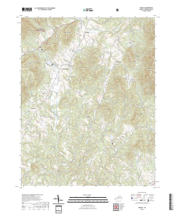
2022 Sedalia
Bedford County, VA
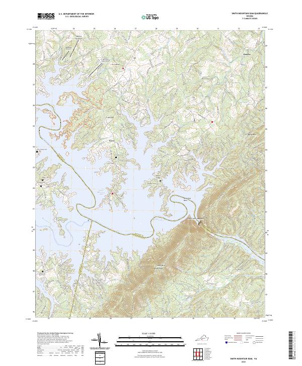
2022 Smith Mountain Dam
Bedford County, VA
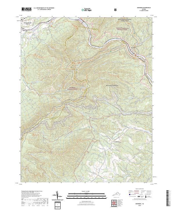
2022 Snowden
Bedford County, VA