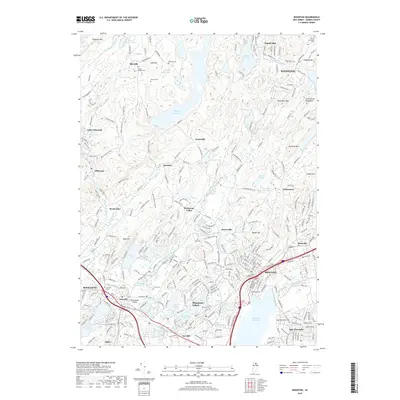
2019 Map of Boonton
USGS Topo · Published 2019About this map
Splitrock Reservoir sits at the center of this Morris County landscape, surrounded by the high elevations of the Stony Brook Mountains and Rock Pear Mtn. The region is defined by a dense network of water bodies and historical small settlements like Hibernia, Beach Glen, and Meriden. To the south, the Rockaway River winds past the developed centers of Boonton and Denville, illustrating the shift from the wooded uplands of Kinnelon to the suburban valleys of Mountain Lakes. Genealogists will find a high concentration of burial grounds, including the Union Chapel Cem and Winters Cem near Marcella, and the Greenwood Cem in the south. The transition from industrial-era hamlets to modern residential areas is visible through the infrastructure surrounding Lake Hiawatha and Fox Hill, while landmarks like Pyramid Mtn anchor the eastern terrain.
Find a feature on this map
262 named features on this map. Tap any name to fly to it.
Don’t see what you’re looking for? This feature index may not catch every label — zoom into the map to look around manually.
Map Details
Editions of this 2019 Boonton Map
This is the sole edition of this map. No revisions or reprints were ever made.
Other maps of this area

1888 · Franklin
USGS Topo · 1:62,500

1888 · Morristown
USGS Topo · 1:62,500

1888 · Lake Hopatcong
USGS Topo · 1:62,500

1891 · Greenwood Lake
USGS Topo · 1:62,500

1893 · Greenwood Lake
USGS Topo · 1:62,500

1894 · Morristown
USGS Topo · 1:62,500

1894 · Lake Hopatcong
USGS Topo · 1:62,500

1894 · Franklin
USGS Topo · 1:62,500

1897 · Franklin
USGS Topo · 1:62,500

1898 · Lake Hopatcong
USGS Topo · 1:62,500
Featured Places
- Parsippany-Troy Hills, NJ
- Rockaway Township, NJ
- Montville Township, NJ
- Denville Township, Denville
- Denville, NJ