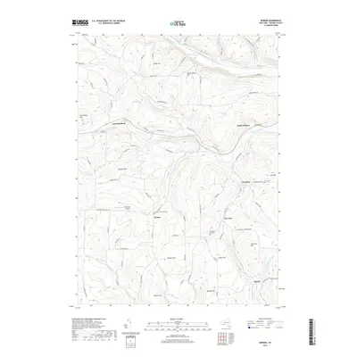
2019 Map of Borden
USGS Topo · Published 2019About this map
Canisteo River waters define the northern reaches of this Steuben County landscape, carving a valley that separates Derby Hill and Hardscrabble Hill from the southern uplands. This 2019 survey captures the rural character of the region, where small named settlements like Borden, East Woodhull, and Freeman serve as local anchors for a network of winding county roads. The terrain is notably dissected by several watercourses including Tuscarora Creek and its north branch, which flow toward South Addison.
Find a feature on this map
81 named features on this map. Tap any name to fly to it.
Don’t see what you’re looking for? This feature index may not catch every label — zoom into the map to look around manually.
Map Details
Editions of this 2019 Borden Map
This is the sole edition of this map. No revisions or reprints were ever made.
Other maps of this area

1900 · Tioga
USGS Topo · 1:62,500

1900 · Elkland
USGS Topo · 1:62,500

1902 · Tioga
USGS Topo · 1:62,500

1914 · Corning
USGS Topo · 1:62,500

1924 · Woodhull
USGS Topo · 1:48,000

1926 · Woodhull
USGS Topo · 1:62,500

1944 · Woodhull
USGS Topo · 1:62,500

1944 · Corning
USGS Topo · 1:62,500

1950 · Elmira
USGS Topo · 1:250,000

1953 · Campbell
USGS Topo · 1:24,000