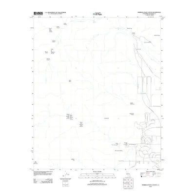
2012 Map of Borrego Palm Canyon
USGS Topo · Published 2012About this map
Santa Catarina Spring and the surrounding desert canyons define this 2012 survey of the San Diego County backcountry. The map traces the rugged convergence of several watercourses, including Indian Cr and Coyote Cr, which have carved out notable landmarks like Middle Fork Borrego Palm Canyon and the Valley of the Thousand Springs. Human settlement is clustered toward the southeast, where residential developments and the Borrego Palms Resort sit at the base of the mountains.
Find a feature on this map
62 named features on this map. Tap any name to fly to it.
Don’t see what you’re looking for? This feature index may not catch every label — zoom into the map to look around manually.
Map Details
Editions of this 2012 Borrego Palm Canyon Map
This is the sole edition of this map. No revisions or reprints were ever made.
Other maps of this area

1903 · Ramona
USGS Topo · 1:125,000

1904 · Indio
USGS Topo · 1:125,000

1904 · Southern California Sheet No. 2
USGS Topo · 1:250,000

1931 · Vallecito
USGS Topo · 1:125,000

1939 · Warner Springs
USGS Topo · 1:62,500

1939 · Santa Ysabel
USGS Topo · 1:62,500

1939 · Borrego
USGS Topo · 1:62,500

1941 · Clark Lake
USGS Topo · 1:62,500

1942 · Clark Lake
USGS Topo · 1:62,500

1942 · Borego
USGS Topo · 1:62,500