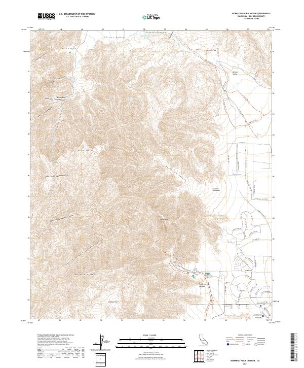
2021 Map of Borrego Palm Canyon
USGS Topo · Published 2021About this map
San Ysidro Mtn dominates the high western terrain of this San Diego County quadrangle, where a complex network of desert canyons and valleys defines the land. The topography transitions from the dramatic peaks and mesas like Palm Mesa into the alluvial fans of the Borrego Valley. Water, though scarce, is a central feature here, marked by Indian Cr and Santa Catarina Spring in Coyote Canyon. The southeastern corner of the map reveals the organized development of Borrego Springs, with residential streets such as Montezuma Rd and Yaqui Dr contrasting with the vast expanses of Galleta Meadows and Hellhole Flat. This 2021 survey preserves the modern configuration of the Saint Richard Catholic Church Parish Cem alongside recreational landmarks like the Panorama Outlook and several equestrian trails including the Horsecamp Trl.
Find a feature on this map
71 named features on this map. Tap any name to fly to it.
Don’t see what you’re looking for? This feature index may not catch every label — zoom into the map to look around manually.
Map Details
Editions of this 2021 Borrego Palm Canyon Map
This is the sole edition of this map. No revisions or reprints were ever made.
Other maps of this area

1903 · Ramona
USGS Topo · 1:125,000

1904 · Indio
USGS Topo · 1:125,000

1904 · Southern California Sheet No. 2
USGS Topo · 1:250,000

1931 · Vallecito
USGS Topo · 1:125,000

1939 · Warner Springs
USGS Topo · 1:62,500

1939 · Santa Ysabel
USGS Topo · 1:62,500

1939 · Borrego
USGS Topo · 1:62,500

1941 · Clark Lake
USGS Topo · 1:62,500

1942 · Clark Lake
USGS Topo · 1:62,500

1942 · Borego
USGS Topo · 1:62,500