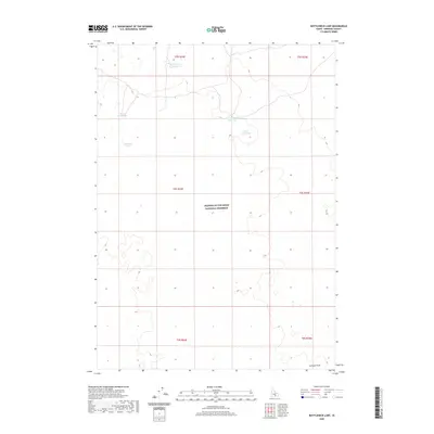
2020 Map of Bottleneck Lake
USGS Topo · Published 2020About this map
Craters of the Moon National Preserve dominates this section of Minidoka County, revealing a landscape defined by volcanic geology and remote catchment basins. This 2020 survey illustrates the complex topography of the Snake River Plain, where seasonal water bodies like Bottleneck Lake and Three Forks Lake are critical features in an otherwise arid environment. The map details the modern management of this unique terrain, including the boundaries of Larkspur Park and several man-made improvements designed for water retention, such as Pronghorn Reservoir and Lower Thumb Reservoir.
Find a feature on this map
13 named features on this map. Tap any name to fly to it.
Don’t see what you’re looking for? This feature index may not catch every label — zoom into the map to look around manually.
Map Details
Editions of this 2020 Bottleneck Lake Map
This is the sole edition of this map. No revisions or reprints were ever made.
Other maps of this area

1954 · Pocatello
USGS Topo · 1:250,000

1955 · Idaho Falls
USGS Topo · 1:250,000

1958 · Idaho Falls
USGS Topo · 1:250,000

1958 · Pocatello
USGS Topo · 1:250,000

1972 · Bear Park SW
USGS Topo · 1:24,000

1972 · Community Lake
USGS Topo · 1:24,000

1972 · Laidlaw Lake
USGS Topo · 1:24,000

1972 · Bear Den Butte
USGS Topo · 1:24,000

1972 · Laidlaw Butte
USGS Topo · 1:24,000

1972 · Bottleneck Lake
USGS Topo · 1:24,000