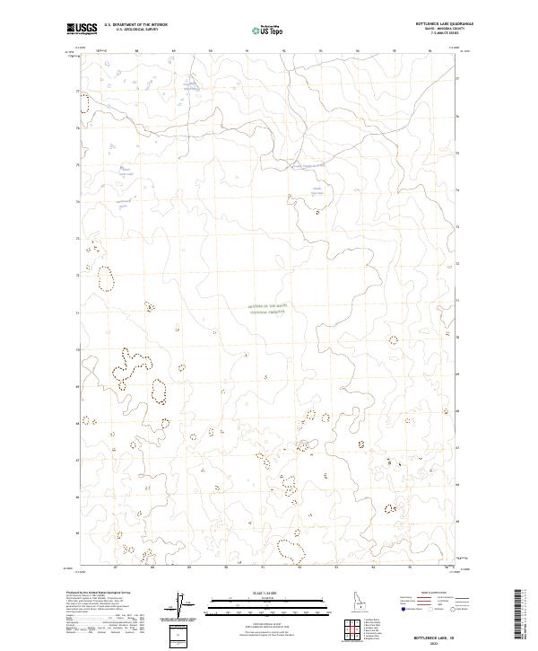
2023 Map of Bottleneck Lake
USGS Topo · Published 2023About this map
Craters of the Moon National Preserve occupies the central and southern portions of this landscape, an area defined by its unique volcanic geology and sparse water resources. The terrain is marked by a network of seasonal catchments and small basins, including the namesake Bottleneck Lake and nearby Three Forks Lake in the northwestern quadrant. These features, along with Pronghorn Reservoir and Lower Thumb Reservoir, highlight the importance of water management in this arid Minidoka County environment. The map provides a look at the intersection of protected wilderness and the township and range survey system, following the lines of T4S R24E and T4S R25E through the heart of the preserve. The absence of traditional roads or settlements reflects the area's specialized use as a protected natural landscape.
Find a feature on this map
12 named features on this map. Tap any name to fly to it.
Don’t see what you’re looking for? This feature index may not catch every label — zoom into the map to look around manually.
Map Details
Editions of this 2023 Bottleneck Lake Map
This is the sole edition of this map. No revisions or reprints were ever made.
Other maps of this area

1954 · Pocatello
USGS Topo · 1:250,000

1955 · Idaho Falls
USGS Topo · 1:250,000

1958 · Idaho Falls
USGS Topo · 1:250,000

1958 · Pocatello
USGS Topo · 1:250,000

1972 · Bear Park SW
USGS Topo · 1:24,000

1972 · Community Lake
USGS Topo · 1:24,000

1972 · Laidlaw Lake
USGS Topo · 1:24,000

1972 · Bear Den Butte
USGS Topo · 1:24,000

1972 · Laidlaw Butte
USGS Topo · 1:24,000

1972 · Bottleneck Lake
USGS Topo · 1:24,000