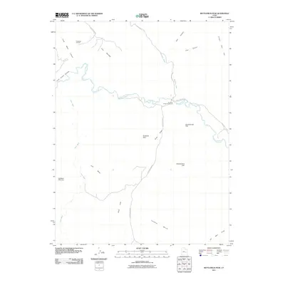
2011 Map of Bottleneck Peak
USGS Topo · Published 2011About this map
The San Rafael River carves a deep path through this section of Emery County, defining a landscape of high mesas and narrow canyons. Dramatic vertical relief is centered on Bottleneck Peak, which rises above the valley floor alongside other prominent formations like Assembly Hall Peak and Window Blind Peak. This 2011 survey illustrates the remote network of primitive roads, such as Buckhorn Draw Rd and San Rafael River Rd, that provide access to the river corridor. To the northwest, The Wedge and Little Grand Canyon mark the beginning of a massive geological depression, while the San Rafael Bridge Campground serves as a lone point of human infrastructure at the river crossing. The mapping of Good Water Canyon and Cane Wash highlights the intricate drainage patterns that characterize this desert terrain, where features like Calf Mesa and Limestone Bench create distinct horizontal tiers across the horizon.
Find a feature on this map
22 named features on this map. Tap any name to fly to it.
Don’t see what you’re looking for? This feature index may not catch every label — zoom into the map to look around manually.
Map Details
Editions of this 2011 Bottleneck Peak Map
This is the sole edition of this map. No revisions or reprints were ever made.
Other maps of this area

1885 · San Rafael
USGS Topo · 1:250,000

1886 · Price River
USGS Topo · 1:250,000

1896 · Price River
USGS Topo · 1:250,000

1952 · San Rafael Knob
USGS Topo · 1:62,500

1953 · Wilsonville SE
USGS Topo · 1:24,000

1953 · Red Plateau SE
USGS Topo · 1:24,000

1953 · Red Plateau SW
USGS Topo · 1:24,000

1954 · Stinking Spring Creek 1 NW
USGS Topo · 1:24,000

1954 · Stinking Spring Creek 1 NE
USGS Topo · 1:24,000

1954 · Stinking Spring Creek 2 NE
USGS Topo · 1:24,000