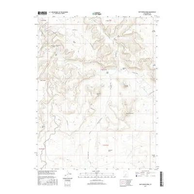
2017 Map of Bottleneck Peak
USGS Topo · Published 2017About this map
Bottleneck Peak and the high desert plateaus of Emery County define this landscape, where the San Rafael River carves deeply through the San Rafael Swell. The area is characterized by dramatic topographic relief, featuring prominent formations such as Assembly Hall Peak and Window Blind Peak. This 2017 survey shows the intricate network of primitive routes and historical trails that navigate the canyons, including the Good Water Rim Trail and the historic Moab to Boulder Town route.
Find a feature on this map
31 named features on this map. Tap any name to fly to it.
Don’t see what you’re looking for? This feature index may not catch every label — zoom into the map to look around manually.
Map Details
Editions of this 2017 Bottleneck Peak Map
This is the sole edition of this map. No revisions or reprints were ever made.
Other maps of this area

1885 · San Rafael
USGS Topo · 1:250,000

1886 · Price River
USGS Topo · 1:250,000

1896 · Price River
USGS Topo · 1:250,000

1952 · San Rafael Knob
USGS Topo · 1:62,500

1953 · Wilsonville SE
USGS Topo · 1:24,000

1953 · Red Plateau SE
USGS Topo · 1:24,000

1953 · Red Plateau SW
USGS Topo · 1:24,000

1954 · Stinking Spring Creek 1 NW
USGS Topo · 1:24,000

1954 · Stinking Spring Creek 1 NE
USGS Topo · 1:24,000

1954 · Stinking Spring Creek 2 NE
USGS Topo · 1:24,000