Loading...
Loading map...2024 Map of Bottsford
USGS Topo · Published 2024About this map
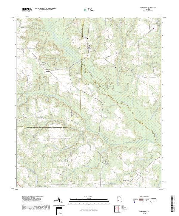
Kinchafoonee Creek and its densely wooded banks dominate this landscape where Webster, Sumter, and Terrell counties converge. The settlement of Bottsford serves as a central point for a network of rural routes, including Rural Hill Church Rd and Millard Kennedy Rd. This terrain is characterized by its numerous small waterways, such as Ty Ty Creek and Bear Creek, which cut through the agricultural and timbered lands of southwest Georgia.
Find a feature on this map
68 named features on this map. Tap any name to fly to it.
Don’t see what you’re looking for? This feature index may not catch every label — zoom into the map to look around manually.
Map Details
Date Portrayed2024
Date Published2024
PublisherU.S. Geological Survey
Map TypeTopographic
Scale1:24000
Physical Dimensions24 x 29 inches
Editions of this 2024 Bottsford Map
This is the sole edition of this map. No revisions or reprints were ever made.
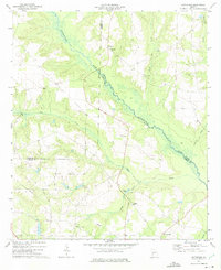
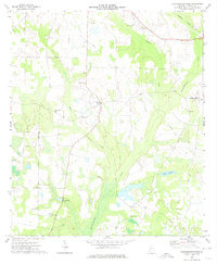
Historical Maps of Pleasant Hill Through Time
4 maps found
Featured Locations
Source Details
SourceU.S. Geological Survey
CopyrightPublic Domain