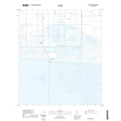
2020 Map of Boudreaux Lake
USGS Topo · Published 2020About this map
Gibbstown occupies a strategic position at the intersection of land and water travel in this coastal Cameron Parish landscape. The settlement sits just north of the Intracoastal Waterway, where Conoco Plant Rd meets the local transit network, illustrating the industrial and maritime connections essential to this region. The terrain is a complex of marsh and open water, featuring Sweet Lake to the west and the namesake Boudreaux Lake further south. Notable landmarks like Savanne Neuville Island rise above the surrounding wetlands, while the East Prong of Grand Bayou drains the southern reaches. Local history is anchored by the Granger Cem on Grangerville Rd, serving as a genealogical touchstone for the families who settled this area of the Louisiana coast.
Find a feature on this map
13 named features on this map. Tap any name to fly to it.
Don’t see what you’re looking for? This feature index may not catch every label — zoom into the map to look around manually.
Map Details
Editions of this 2020 Boudreaux Lake Map
This is the sole edition of this map. No revisions or reprints were ever made.
Other maps of this area

1932 · Lake Charles SW
USGS Topo · 1:31,680

1932 · Lake Charles SE
USGS Topo · 1:31,680

1934 · Lake Misere
USGS Topo · 1:24,000

1934 · Sweet Lake
USGS Topo · 1:24,000

1934 · Grand Bayou
USGS Topo · 1:24,000

1934 · Boudreaux Lake
USGS Topo · 1:24,000

1935 · Sweet Lake
USGS Topo · 1:31,680

1935 · Lake Misere
USGS Topo · 1:31,680

1935 · Boudreaux Lake
USGS Topo · 1:31,680

1935 · Grand Bayou
USGS Topo · 1:31,680