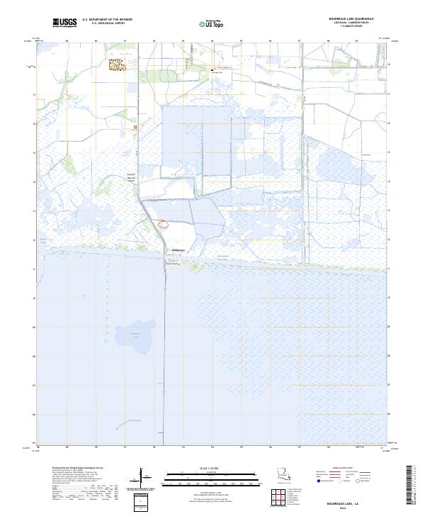
2024 Map of Boudreaux Lake
USGS Topo · Published 2024About this map
Cameron Prairie National Wildlife Refuge dominates this coastal landscape in Cameron Parish, where vast marshlands meet the engineering of the modern era. The area is characterized by its complex hydrology, featuring the heavy industrial presence of the Intracoastal Waterway and the North Canal cutting through the terrain. Evidence of early settlement persists at the Granger Cem and the small community of Gibbstown, located near the intersection of La 27 and the waterway. The map captures the distinct topography of Savanne Neuville Island, a rise in the marsh that highlights the traditional land-use patterns of the Louisiana coast. Natural water features like Sweet Lake and Boudreaux Lake remain central to the geography, while newer recreational infrastructure is noted at the Pintail Boardwalk Trl.
Find a feature on this map
18 named features on this map. Tap any name to fly to it.
Don’t see what you’re looking for? This feature index may not catch every label — zoom into the map to look around manually.
Map Details
Editions of this 2024 Boudreaux Lake Map
This is the sole edition of this map. No revisions or reprints were ever made.
Other maps of this area

1932 · Lake Charles SW
USGS Topo · 1:31,680

1932 · Lake Charles SE
USGS Topo · 1:31,680

1934 · Lake Misere
USGS Topo · 1:24,000

1934 · Sweet Lake
USGS Topo · 1:24,000

1934 · Grand Bayou
USGS Topo · 1:24,000

1934 · Boudreaux Lake
USGS Topo · 1:24,000

1935 · Sweet Lake
USGS Topo · 1:31,680

1935 · Lake Misere
USGS Topo · 1:31,680

1935 · Boudreaux Lake
USGS Topo · 1:31,680

1935 · Grand Bayou
USGS Topo · 1:31,680