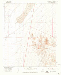
1958 Map of Boulder City SW
USGS Topo · Published 1959About this map
Eldorado Valley dominates the western portion of this 1958 survey, defined by the prominent Dry Lake basin. This arid landscape illustrates a mid-century infrastructure corridor, where a major Pipeline and several roads, including route 95, slice across the desert floor toward distant hubs. To the east, the terrain rises sharply into the Eldorado Mountains, where the intricate contour work reveals a complex system of ridges and canyons. Within these slopes, isolated mining activity is recorded, marked by Shafts and a single Shaft located near the base of the peaks. The map provides a precise look at the geological and industrial character of this corner of Clark County before extensive modern development, capturing a transition between the flat alkaline wash and the high desert peaks like Bump.
Find a feature on this map
10 named features on this map. Tap any name to fly to it.
Don’t see what you’re looking for? This feature index may not catch every label — zoom into the map to look around manually.
Map Details
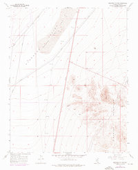
Editions of this 1958 Boulder City SW Map
2 editions found
Other maps of this area

1886 · Camp Mohave
USGS Topo · 1:250,000

1892 · Camp Mohave
USGS Topo · 1:250,000

1910 · Ivanpah
USGS Topo · 1:250,000

1912 · Ivanpah
USGS Topo · 1:250,000

1926 · Nelson
USGS Topo · 1:96,000

1942 · Camp Mohave
USGS Topo · 1:250,000

1942 · Ivanpah
USGS Topo · 1:250,000

1947 · Kingman
USGS Topo · 1:250,000

1948 · Kingman
USGS Topo · 1:250,000

1954 · Kingman
USGS Topo · 1:250,000