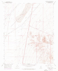
1958 Map of Boulder City SW
USGS Topo · Published 1976About this map
The Eldorado Valley Dry Lake (Depression) dominates the northern landscape of this Mojave Desert region, illustrating the stark hydrology of Clark County in the mid-20th century. To the east, the terrain rises into the Eldorado Mountains, a range characterized by steep slopes and isolated summits such as Bump. This survey documents a quiet but active industrial footprint, with several shafts and a shaft located south of the valley floor, indicating small-scale prospecting or mining operations typical of the era. The presence of these mineral extraction points alongside a long-range pipeline suggests a landscape transitioning between traditional hard-rock mining and the infrastructure required for regional energy and resource transport.
Find a feature on this map
5 named features on this map. Tap any name to fly to it.
Don’t see what you’re looking for? This feature index may not catch every label — zoom into the map to look around manually.
Map Details
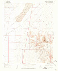
Editions of this 1958 Boulder City SW Map
2 editions found
Other maps of this area

1886 · Camp Mohave
USGS Topo · 1:250,000

1892 · Camp Mohave
USGS Topo · 1:250,000

1910 · Ivanpah
USGS Topo · 1:250,000

1912 · Ivanpah
USGS Topo · 1:250,000

1926 · Nelson
USGS Topo · 1:96,000

1942 · Camp Mohave
USGS Topo · 1:250,000

1942 · Ivanpah
USGS Topo · 1:250,000

1947 · Kingman
USGS Topo · 1:250,000

1948 · Kingman
USGS Topo · 1:250,000

1954 · Kingman
USGS Topo · 1:250,000