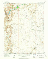
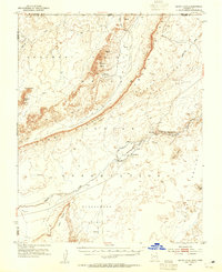
1962 Map of Boundary Butte
USGS Topo · Published 1964About this map
Ancient habitations and mid-century energy development meet in this remote corner of the Navajo Indian Reservation. Along the deep incision of the San Juan River and the dramatic spine of Comb Ridge, the map identifies significant archaeological sites including Poncho House and several Cliff Dwellings. These ancestral locations overlook a landscape that, by the early 1960s, was increasingly defined by resource extraction.
Find a feature on this map
40 named features on this map. Tap any name to fly to it.
Don’t see what you’re looking for? This feature index may not catch every label — zoom into the map to look around manually.
Map Details
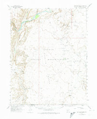
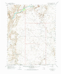
Editions of this 1962 Boundary Butte Map
3 editions found
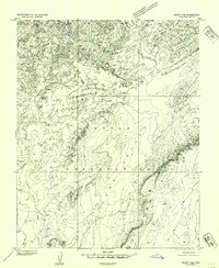
Other maps of this area

1886 · Abajo
USGS Topo · 1:250,000

1892 · Abajo
USGS Topo · 1:250,000

1892 · Canyon De Chelly
USGS Topo · 1:250,000

1893 · Abajo
USGS Topo · 1:250,000
1952 · Bluff 3 SE
USGS Topo · 1:24,000
1952 · Dinnehotso
USGS Topo · 1:62,500
1952 · Setsiltso Springs 2 NE
USGS Topo · 1:24,000
1953 · Dinne Mesa NW
USGS Topo · 1:24,000
1953 · Toh-Atin Mesa
USGS Topo · 1:62,500

1954 · Shiprock
USGS Topo · 1:250,000
Featured Places
- Shiprock Agency
- Tselakai Dezza, Shiprock Agency
- Little Water, Shiprock Agency
- San Juan County, UT
- United States