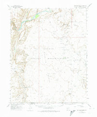
1962 Map of Boundary Butte
USGS Topo · Published 1974About this map
The Navajo Indian Reservation spans this high desert landscape, defined by the winding course of the San Juan River and the dramatic uplift of Comb Ridge. In the early 1960s, the region saw significant industrial activity, marked by the North Boundary Butte Oil Field and numerous flowing wells and drill holes across the Bench and Tohonadla areas.
Find a feature on this map
42 named features on this map. Tap any name to fly to it.
Don’t see what you’re looking for? This feature index may not catch every label — zoom into the map to look around manually.
Map Details
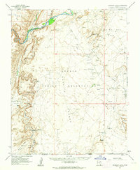
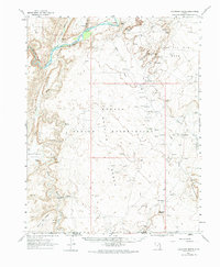
Editions of this 1962 Boundary Butte Map
3 editions found
Other maps of this area

1886 · Abajo
USGS Topo · 1:250,000

1892 · Abajo
USGS Topo · 1:250,000

1892 · Canyon De Chelly
USGS Topo · 1:250,000

1893 · Abajo
USGS Topo · 1:250,000

1952 · Bluff 3 SE
USGS Topo · 1:24,000

1952 · Dinnehotso
USGS Topo · 1:62,500

1952 · Setsiltso Springs 2 NE
USGS Topo · 1:24,000

1953 · Dinne Mesa NW
USGS Topo · 1:24,000

1953 · Toh-Atin Mesa
USGS Topo · 1:62,500

1954 · Shiprock
USGS Topo · 1:250,000
Featured Places
- Shiprock Agency
- Tselakai Dezza, Shiprock Agency
- Little Water, Shiprock Agency
- San Juan County, UT
- United States