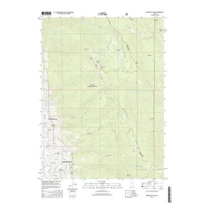
2017 Map of Bountiful Peak
USGS Topo · Published 2017About this map
Centerville and Bountiful occupy the narrow bench between the high peaks of the Wasatch Range and the valley floor. This survey illustrates the interface of residential expansion and the preserved wilderness of the Wasatch National Forest. On the western edge, suburban developments follow established grids like E Center St and S Davis Blvd, pushing right against the steep slopes of Centerville Canyon and Holbrook Canyon.
Find a feature on this map
96 named features on this map. Tap any name to fly to it.
Don’t see what you’re looking for? This feature index may not catch every label — zoom into the map to look around manually.
Map Details
Editions of this 2017 Bountiful Peak Map
This is the sole edition of this map. No revisions or reprints were ever made.
Other maps of this area

1885 · Salt Lake
USGS Topo · 1:250,000

1925 · Ft. Douglas
USGS Topo · 1:125,000

1928 · Ft. Douglas
USGS Topo · 1:125,000

1950 · Fort Douglas
USGS Topo · 1:24,000

1951 · Fort Douglas
USGS Topo · 1:24,000

1951 · Salt Lake City North
USGS Topo · 1:24,000

1952 · Farmington
USGS Topo · 1:24,000

1952 · Bountiful Peak
USGS Topo · 1:24,000

1954 · Salt Lake City
USGS Topo · 1:250,000

1954 · Ogden
USGS Topo · 1:250,000