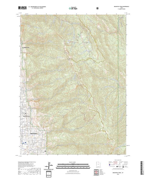
2023 Map of Bountiful Peak
USGS Topo · Published 2023About this map
Bountiful Peak anchors this survey of the high mountain terrain and urban interface along the western edge of the Wasatch National Forest. The map documents the close relationship between the developing residential grids of Bountiful, Centerville, and Farmington and the steep canyons that drain the Wasatch Range. Tracing names like Ford Canyon, Parrish Creek, and Stone Creek, one can see the critical water infrastructure and recreational access points that define these communities. High-altitude features including Farmington Lake and Farmington Flats are connected to the valley floor by a complex network of forest roads and trails, such as Skyline Dr and the Bonneville Shoreline North Trl. This documentation of the interface between wilderness and settlement is particularly evident near the Lakeview Memorial Park Cem and the various city springs that historically supported local growth.
Find a feature on this map
109 named features on this map. Tap any name to fly to it.
Don’t see what you’re looking for? This feature index may not catch every label — zoom into the map to look around manually.
Map Details
Editions of this 2023 Bountiful Peak Map
This is the sole edition of this map. No revisions or reprints were ever made.
Other maps of this area

1885 · Salt Lake
USGS Topo · 1:250,000

1925 · Ft. Douglas
USGS Topo · 1:125,000

1928 · Ft. Douglas
USGS Topo · 1:125,000

1950 · Fort Douglas
USGS Topo · 1:24,000

1951 · Fort Douglas
USGS Topo · 1:24,000

1951 · Salt Lake City North
USGS Topo · 1:24,000

1952 · Farmington
USGS Topo · 1:24,000

1952 · Bountiful Peak
USGS Topo · 1:24,000

1954 · Salt Lake City
USGS Topo · 1:250,000

1954 · Ogden
USGS Topo · 1:250,000