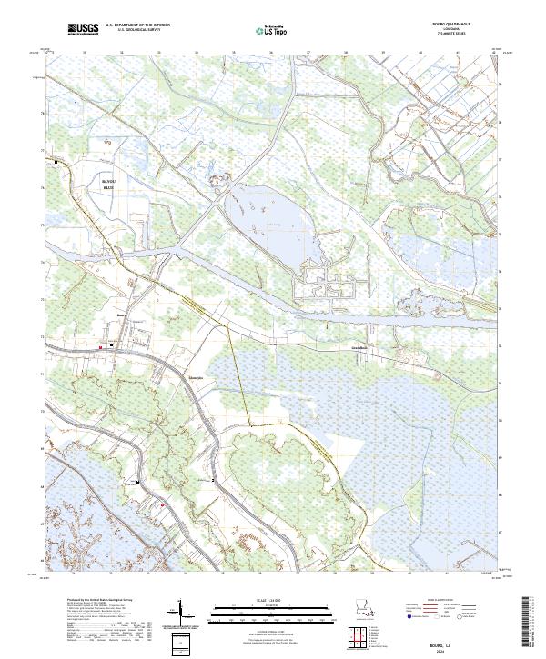
2024 Map of Bourg
USGS Topo · Published 2024About this map
The low-lying wetlands of south Louisiana dominate this landscape, where the Intracoastal Waterway cuts a straight path through the natural winding bayous of the Terrebonne-Lafourche parish border. The settlement of Bourg serves as a central hub, situated where Bayou Terrebonne meets local road networks like Parish Rd 43. The map illustrates a distinctive pattern of ribbon development, with homes and infrastructure clustered tightly along the narrow natural levees of Bayou Blue and the Bayou Petit Caillou.
Find a feature on this map
58 named features on this map. Tap any name to fly to it.
Don’t see what you’re looking for? This feature index may not catch every label — zoom into the map to look around manually.
Map Details
Editions of this 2024 Bourg Map
This is the sole edition of this map. No revisions or reprints were ever made.
Other maps of this area

1892 · Cut-Off
USGS Topo · 1:62,500

1892 · Houma
USGS Topo · 1:62,500

1894 · Lake Felicity
USGS Topo · 1:62,500

1894 · Dulac
USGS Topo · 1:62,500

1932 · Houma SE
USGS Topo · 1:31,680

1932 · Houma SW
USGS Topo · 1:31,680

1932 · Houma NE
USGS Topo · 1:31,680

1932 · Houma NW
USGS Topo · 1:31,680

1935 · Viguerie Canal
USGS Topo · 1:31,680

1935 · Montegut
USGS Topo · 1:31,680