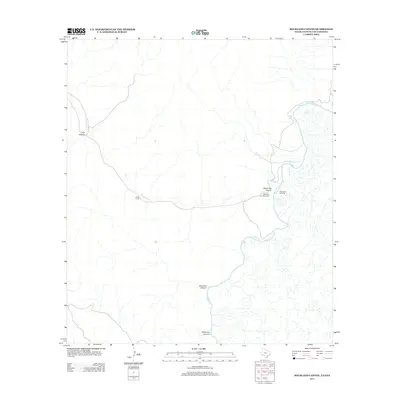
2013 Map of Bourland Canyon
USGS Topo · Published 2013About this map
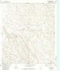
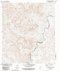
The Rio Grande snakes through a complex drainage network along the Texas-Mexico border, anchoring a landscape defined by deep canyons and isolated outposts. In the northern reaches, Dog Canyon and the seasonal Maravillas Cr dictate the topography, eventually leading south toward the Pettit Ranch. The convergence of these watercourses is marked by the Mouth of the Maravillas, a critical geographic junction near the historic Maravillas Crossing. To the south, the terrain becomes increasingly intricate as the river winds past Bourland Canyon and Driftwood Canyon, reflecting the traditional ranching and riverfront patterns of this remote borderland. The map documents the persistent connection between limited water sources and human habitation in this arid environment.
Find a feature on this map
9 named features on this map. Tap any name to fly to it.
Don’t see what you’re looking for? This feature index may not catch every label — zoom into the map to look around manually.
Map Details
Editions of this 2013 Bourland Canyon Map
This is the sole edition of this map. No revisions or reprints were ever made.
Other maps of this area

1918 · Reagan Canyon
USGS Topo · 1:62,500

1919 · Maravillas Canyon
USGS Topo · 1:62,500

1930 · Stillwell Creek
USGS Topo · 1:62,500

1959 · Emory Peak
USGS Topo · 1:250,000

1965 · Emory Peak
USGS Topo · 1:250,000
1971 · Sue Peaks
USGS Topo · 1:24,000
1971 · Stillwell Crossing
USGS Topo · 1:24,000
1983 · Las Vegas De Los Ladrones SW
USGS Topo · 1:24,000
1983 · Black Gap
USGS Topo · 1:24,000
1983 · Bourland Canyon
USGS Topo · 1:24,000