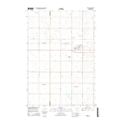
2015 Map of Bowdle
USGS Topo · Published 2015About this map
Bowdle serves as the central hub of this prairie landscape on the border of Walworth and Edmunds counties. The town's grid is clearly defined by landmarks such as the Bowdle Municipal Airport and a series of surrounding historical burial sites including Redeemer Cem, Saint Paul Cem, and Ketterling Cem. To the northwest, the Nell Glueckstal Cem sits in an isolated section of the plains, reflecting the scattered nature of early settlement in this region. The terrain is characterized by the winding path of Swan Lake Cr in the southwest and an extensive network of rural section-line roads, such as 322nd Ave and 132nd St. This survey highlights the spatial relationship between the concentrated municipal center and the vast, open agricultural lands that define North Central South Dakota.
Find a feature on this map
37 named features on this map. Tap any name to fly to it.
Don’t see what you’re looking for? This feature index may not catch every label — zoom into the map to look around manually.
Map Details
Editions of this 2015 Bowdle Map
This is the sole edition of this map. No revisions or reprints were ever made.
Other maps of this area
1954 · Aberdeen
USGS Topo · 1:250,000
1956 · Aberdeen
USGS Topo · 1:250,000
1974 · Gretna
USGS Topo · 1:24,000
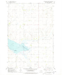
1974 · Hoven Muni. Airport
USGS Topo · 1:24,000
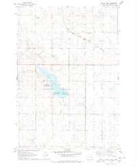
1974 · Spring Lake
USGS Topo · 1:24,000
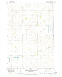
1974 · Bowdle SE
USGS Topo · 1:24,000
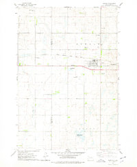
1974 · Bowdle
USGS Topo · 1:24,000
1978 · Hillsview SE
USGS Topo · 1:24,000
1978 · Bowdle SW
USGS Topo · 1:24,000
1978 · Bowdle-Hosmer Lake
USGS Topo · 1:24,000