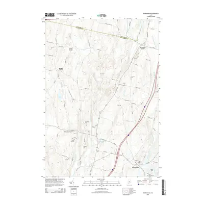
2014 Map of Bowdoinham
USGS Topo · Published 2014About this map
Bowdoinham and Bowdoin Center anchor this mid-coast Maine landscape, where the Cathance River and its various branches, including the E Cathance Stream and W Cathance Stream, dictate the layout of roads and settlements. This 2014 survey captures a rural environment defined by long-standing family farmstead sites and local landmarks. Genealogical researchers will find an exceptional density of small burial grounds scattered across the terrain, from the Leonard Family Cem near Wheeler Hill to the Hix Small Cem along Hix Small Cemetery Rd. To the north, Richmond Corner and Varney Corner mark historical intersections at the Kennebec and Sagadahoc county line. The presence of Merrymeeting Field and the waters of Caesar Pond further highlight the area's mixed character of protected woodlands and traditional Maine village centers.
Find a feature on this map
94 named features on this map. Tap any name to fly to it.
Don’t see what you’re looking for? This feature index may not catch every label — zoom into the map to look around manually.
Map Details
Editions of this 2014 Bowdoinham Map
This is the sole edition of this map. No revisions or reprints were ever made.
Other maps of this area

1892 · Gardiner
USGS Topo · 1:62,500

1892 · Freeport
USGS Topo · 1:62,500

1894 · Bath
USGS Topo · 1:62,500

1908 · Lewiston
USGS Topo · 1:62,500

1920 · Bath
USGS Topo · 1:62,500

1941 · Freeport
USGS Topo · 1:62,500

1942 · Lewiston
USGS Topo · 1:62,500

1943 · Gardiner
USGS Topo · 1:62,500

1944 · Freeport
USGS Topo · 1:62,500

1945 · Bath
USGS Topo · 1:62,500