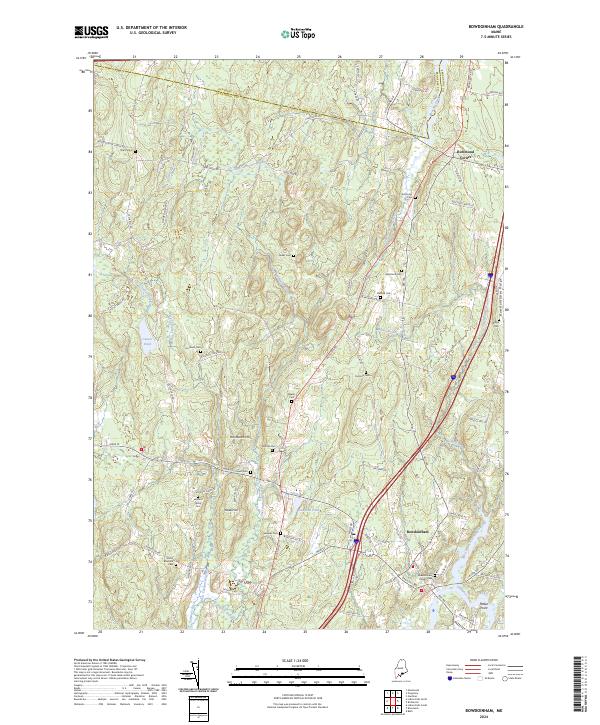
2024 Map of Bowdoinham
USGS Topo · Published 2024About this map
Bowdoinham and Richmond Corner serve as the primary focal points of this contemporary landscape in Sagadahoc County, where the transition from Kennebec County is marked by the meandering Dead River. The terrain is defined by a dense network of family and community burial sites, such as the Sturtevant Cem, Leonard Family Cem, and Buker Cem, which offer significant value for genealogical research. The geography is deeply influenced by the waterways that carve through the hills, including East Cathance Stream and West Cathance Stream.
Find a feature on this map
84 named features on this map. Tap any name to fly to it.
Don’t see what you’re looking for? This feature index may not catch every label — zoom into the map to look around manually.
Map Details
Editions of this 2024 Bowdoinham Map
This is the sole edition of this map. No revisions or reprints were ever made.
Other maps of this area

1892 · Gardiner
USGS Topo · 1:62,500

1892 · Freeport
USGS Topo · 1:62,500

1894 · Bath
USGS Topo · 1:62,500

1908 · Lewiston
USGS Topo · 1:62,500

1920 · Bath
USGS Topo · 1:62,500

1941 · Freeport
USGS Topo · 1:62,500

1942 · Lewiston
USGS Topo · 1:62,500

1943 · Gardiner
USGS Topo · 1:62,500

1944 · Freeport
USGS Topo · 1:62,500

1945 · Bath
USGS Topo · 1:62,500