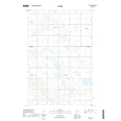
2018 Map of Bowdon SE
USGS Topo · Published 2018About this map
Buchmiller Airport sits in the northwest corner of this prairie landscape, serving as a primary landmark in a region defined by a regular grid of section roads and numerous small wetlands. The boundary between Wells Co and Kidder Co bisects the area horizontally, closely followed by Co Rd 70. This 2018 survey illustrates the persistent township and range system that organized North Dakota settlement, with North-South avenues like 42nd Ave SE and 47th Ave SE intersecting East-West streets at precise intervals. The terrain is characterized by a high density of small ponds and marshes, a classic pothole region geological signature that continues to shape land use and transportation across the county line.
Find a feature on this map
23 named features on this map. Tap any name to fly to it.
Don’t see what you’re looking for? This feature index may not catch every label — zoom into the map to look around manually.
Map Details
Editions of this 2018 Bowdon SE Map
This is the sole edition of this map. No revisions or reprints were ever made.
Other maps of this area
1951 · Bowdon
USGS Topo · 1:24,000
1951 · Heaton
USGS Topo · 1:24,000
1951 · Sykeston
USGS Topo · 1:24,000
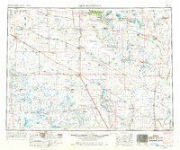
1952 · New Rockford
USGS Topo · 1:250,000
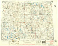
1956 · New Rockford
USGS Topo · 1:250,000
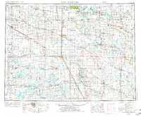
1971 · New Rockford
USGS Topo · 1:250,000
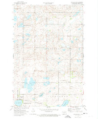
1972 · Lake Williams
USGS Topo · 1:24,000
1972 · Woodworth NW
USGS Topo · 1:24,000
1972 · Des Moines Lake
USGS Topo · 1:24,000
1978 · Wagon Wheel Hill
USGS Topo · 1:24,000