
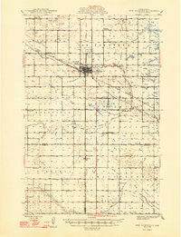
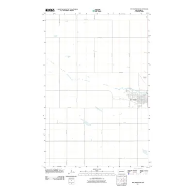
1971 Map of New Rockford
USGS Topo · Published 1974About this map
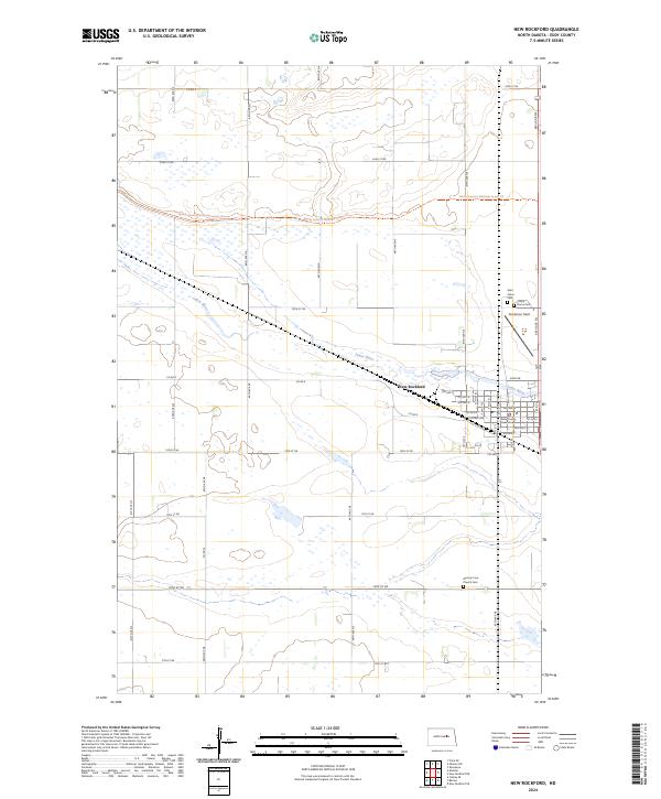
The Fort Totten Indian Reservation occupies a significant portion of this central North Dakota landscape, situated along the southern shores of Devils Lake. This 1970s revision captures an era of extensive conservation management, shown through the cluster of refuges including the Buffalo Lake National Wildlife Refuge, Sullys Hill Nat Game Preserve, and Stump Lake National Wildlife Refuge. The regional infrastructure is dominated by the Burlington Northern railroad, which links agricultural hubs such as Maddock, Aneta, and the county seat at Cooperstown. A series of saline water bodies, including Johnson Lake (Salt) and South Washington Lake (Salt), are scattered across the plains near landmarks like Tiffany Flats and Butte De Morale, reflecting the glacial legacy of the James River basin.
Find a feature on this map
168 named features on this map. Tap any name to fly to it.
Don’t see what you’re looking for? This feature index may not catch every label — zoom into the map to look around manually.
Map Details
Editions of this 1971 New Rockford Map
This is the sole edition of this map. No revisions or reprints were ever made.
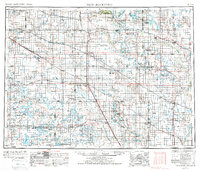
Historical Maps of Carrington Through Time
11 maps found
1948 New Rockford
Eddy County, ND
1950 New Rockford
Eddy County, ND
1952 New Rockford
Eddy County, ND

1956 New Rockford
Eddy County, ND
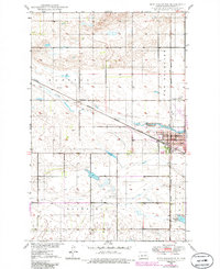
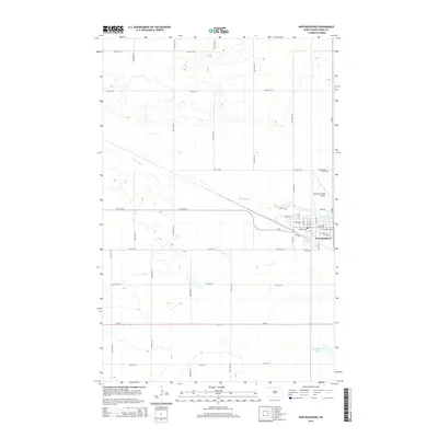
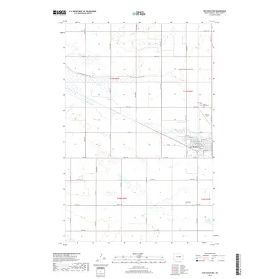
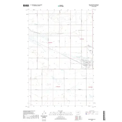
1971 New Rockford
Eddy County, ND
1981 New Rockford
Eddy County, ND
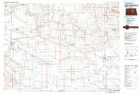
2011 New Rockford
Eddy County, ND
2014 New Rockford
Eddy County, ND
2018 New Rockford
Eddy County, ND
2020 New Rockford
Eddy County, ND
2024 New Rockford
Eddy County, ND