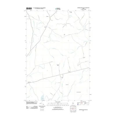
2011 Map of Bowers Mountain
USGS Topo · Published 2011About this map
Prentiss and Carroll anchor this rural landscape in Penobscot County, where the topography is defined by a series of north-south running ridges and complex waterway networks. The drainage of Mattagodus Stream and Baskahegan Stream shapes the terrain, creating a pattern of valleys separated by prominent heights such as Bowers Mountain and Sheepskin Ridge. To the west, Thompson Corners serves as a local navigational point at the junction of several arterial roads like Tar Ridge Rd. The presence of numerous named hills including Weatherbee Hill, Gates Hill, and Brown Hill suggests a landscape historically utilized for its woodlots and upland vantage points. To the south, Lowell Lake marks a significant basin for the region's internal drainage system, which is fed by numerous brooks such as Spruce Brook and Getchell Brook.
Find a feature on this map
52 named features on this map. Tap any name to fly to it.
Don’t see what you’re looking for? This feature index may not catch every label — zoom into the map to look around manually.
Map Details
Editions of this 2011 Bowers Mountain Map
This is the sole edition of this map. No revisions or reprints were ever made.
Other maps of this area

1931 · Springfield
USGS Topo · 1:48,000

1934 · Springfield
USGS Topo · 1:62,500

1940 · Danforth
USGS Topo · 1:62,500

1941 · Danforth
USGS Topo · 1:62,500

1941 · Scraggly Lake
USGS Topo · 1:62,500

1941 · Wytopitlock
USGS Topo · 1:62,500

1943 · Danforth
USGS Topo · 1:62,500

1943 · Wytopitlock
USGS Topo · 1:62,500

1944 · Scraggly Lake
USGS Topo · 1:62,500

1954 · Millinocket
USGS Topo · 1:250,000