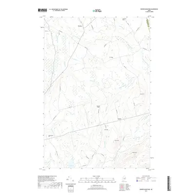
2018 Map of Bowers Mountain
USGS Topo · Published 2018About this map
Prentiss and Carroll anchor this rural landscape in Penobscot County, where the terrain is defined by a series of prominent ridges and slow-moving waterways. The topographic data reveals a complex drainage system, with the Mattagodus Stream and Baskahegan Stream navigating the lowlands between elevations like Bowers Mtn and Sheepskin Ridge. The presence of Lindsey Bog and various brooks such as Coffin Brook and Barker Brook suggests a predominantly wet, wooded environment typical of interior Maine.
Find a feature on this map
44 named features on this map. Tap any name to fly to it.
Don’t see what you’re looking for? This feature index may not catch every label — zoom into the map to look around manually.
Map Details
Editions of this 2018 Bowers Mountain Map
This is the sole edition of this map. No revisions or reprints were ever made.
Other maps of this area

1931 · Springfield
USGS Topo · 1:48,000

1934 · Springfield
USGS Topo · 1:62,500

1940 · Danforth
USGS Topo · 1:62,500

1941 · Danforth
USGS Topo · 1:62,500

1941 · Scraggly Lake
USGS Topo · 1:62,500

1941 · Wytopitlock
USGS Topo · 1:62,500

1943 · Danforth
USGS Topo · 1:62,500

1943 · Wytopitlock
USGS Topo · 1:62,500

1944 · Scraggly Lake
USGS Topo · 1:62,500

1954 · Millinocket
USGS Topo · 1:250,000