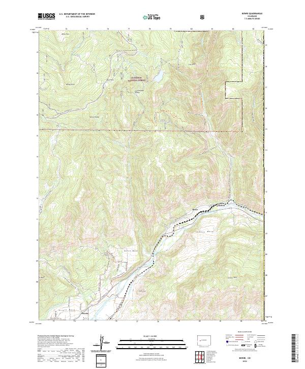
2022 Map of Bowie
USGS Topo · Published 2022About this map
The North Fork Gunnison River carves through this West Slope landscape, anchoring a complex network of agricultural and industrial features. Near the settlement of Bowie, the geography reveals the area's coal-mining heritage at Coal Gulch, while the river valley floor supports orchard and farm irrigation via the Fire Mountain Canal, Farmers Ditch, and Stewart Ditch. These water systems are critical to the productivity of the surrounding mesas, including Pitkin Mesa, Garvin Mesa, and Lennox Mesa.
Find a feature on this map
54 named features on this map. Tap any name to fly to it.
Don’t see what you’re looking for? This feature index may not catch every label — zoom into the map to look around manually.
Map Details
Editions of this 2022 Bowie Map
This is the sole edition of this map. No revisions or reprints were ever made.
Other maps of this area

1938 · Mt. Gunnison
USGS Topo · 1:48,000

1945 · Mount Gunnison
USGS Topo · 1:62,500

1956 · Montrose
USGS Topo · 1:250,000

1957 · Leadville
USGS Topo · 1:250,000

1959 · Leadville
USGS Topo · 1:250,000

1959 · Montrose
USGS Topo · 1:250,000

1960 · Leadville
USGS Topo · 1:250,000

1960 · Montrose
USGS Topo · 1:250,000

1961 · Electric Mountain
USGS Topo · 1:24,000

1961 · Chalk Mountain
USGS Topo · 1:24,000