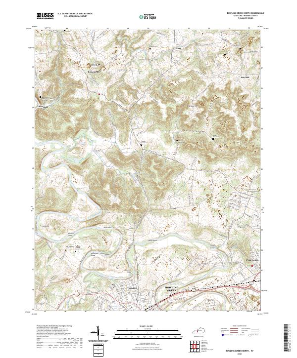
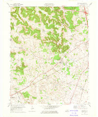
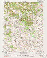
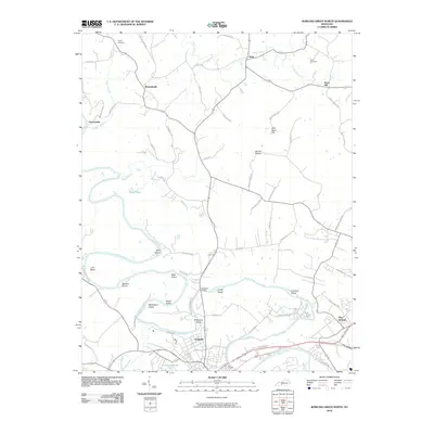
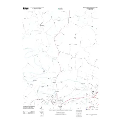
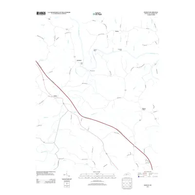
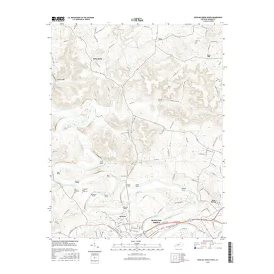
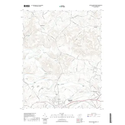
2022 Map of Bowling Green North
USGS Topo · Published 2022About this map
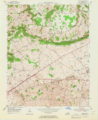
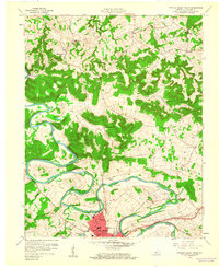
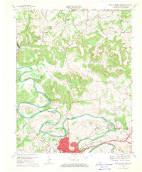
The Barren River meanders through this landscape, creating a complex series of islands and bends north of the city. Notable features include Sibert Island, Boat Island, and McFarland Island, which are tucked into the river's curves alongside Lock Bend. The map documents numerous family burial grounds that reflect the deep-rooted genealogical history of the area, such as the Sterrett Family Cem, Isaac Stephens Family Cem, and Thomas L Stephens Family Cem.
Find a feature on this map
147 named features on this map. Tap any name to fly to it.
Don’t see what you’re looking for? This feature index may not catch every label — zoom into the map to look around manually.
Map Details
Editions of this 2022 Bowling Green North Map
This is the sole edition of this map. No revisions or reprints were ever made.
Historical Maps of Bowling Green Through Time
60 maps found
1952 Rockfield
Warren County, KY
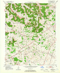
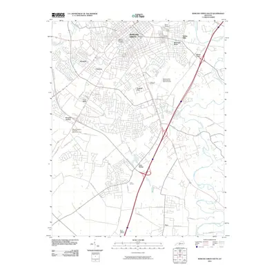
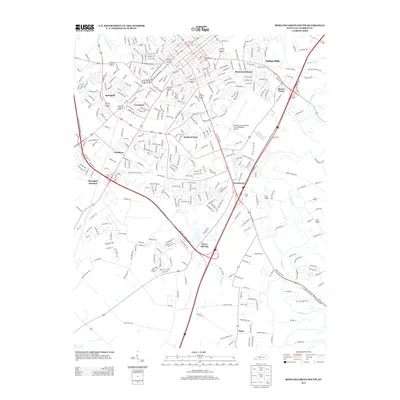
1954 Bowling Green North
Warren County, KY
1954 Bowling Green South
Warren County, KY
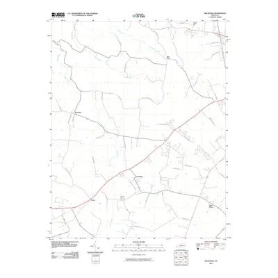
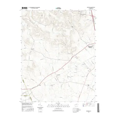
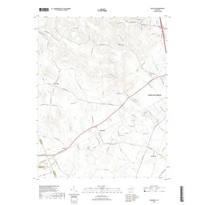
1954 Bristow
Warren County, KY
1954 Drake
Warren County, KY
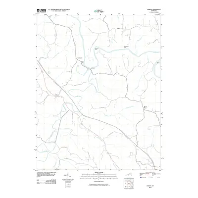
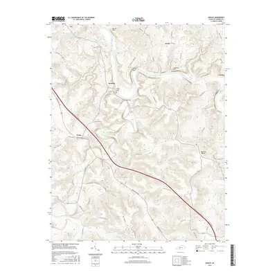
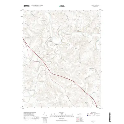
1954 Hadley
Warren County, KY

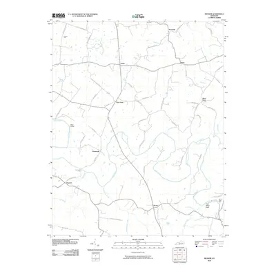
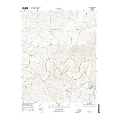
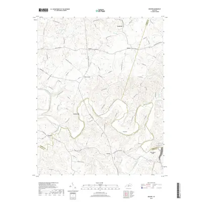
1954 Meador
Warren County, KY
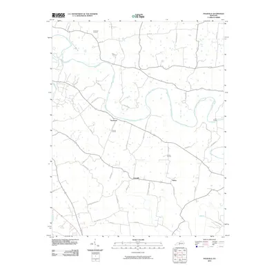
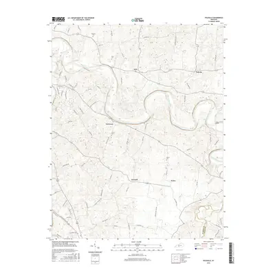
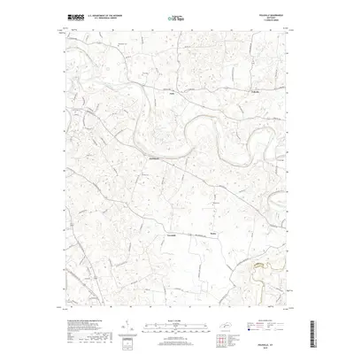
1954 Polkville
Warren County, KY
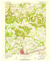
1959 Bowling Green North
Warren County, KY
1959 Bowling Green South
Warren County, KY
1965 Bristow
Warren County, KY
1965 Meador
Warren County, KY
1968 Bowling Green North
Warren County, KY
1968 Bowling Green South
Warren County, KY
1968 Drake
Warren County, KY
1973 Hadley
Warren County, KY
1973 Rockfield
Warren County, KY
1979 Rockfield
Warren County, KY
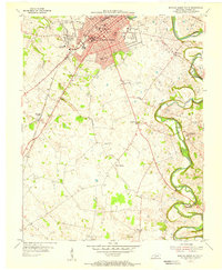
1993 Bowling Green North
Warren County, KY
1993 Bowling Green South
Warren County, KY
2010 Bowling Green North
Warren County, KY
2010 Bowling Green South
Warren County, KY
2010 Bristow
Warren County, KY
2010 Drake
Warren County, KY
2010 Hadley
Warren County, KY
2010 Meador
Warren County, KY
2010 Polkville
Warren County, KY
2010 Rockfield
Warren County, KY
2013 Bowling Green North
Warren County, KY
2013 Bowling Green South
Warren County, KY
2013 Bristow
Warren County, KY
2013 Drake
Warren County, KY
2013 Hadley
Warren County, KY
2013 Meador
Warren County, KY
2013 Polkville
Warren County, KY
2013 Rockfield
Warren County, KY
2016 Bowling Green North
Warren County, KY
2016 Bowling Green South
Warren County, KY
2016 Bristow
Warren County, KY
2016 Drake
Warren County, KY
2016 Hadley
Warren County, KY
2016 Meador
Warren County, KY
2016 Polkville
Warren County, KY
2016 Rockfield
Warren County, KY
2019 Bowling Green North
Warren County, KY
2019 Bowling Green South
Warren County, KY
2019 Bristow
Warren County, KY
2019 Drake
Warren County, KY
2019 Hadley
Warren County, KY
2019 Meador
Warren County, KY
2019 Polkville
Warren County, KY
2019 Rockfield
Warren County, KY
2022 Bowling Green North
Warren County, KY
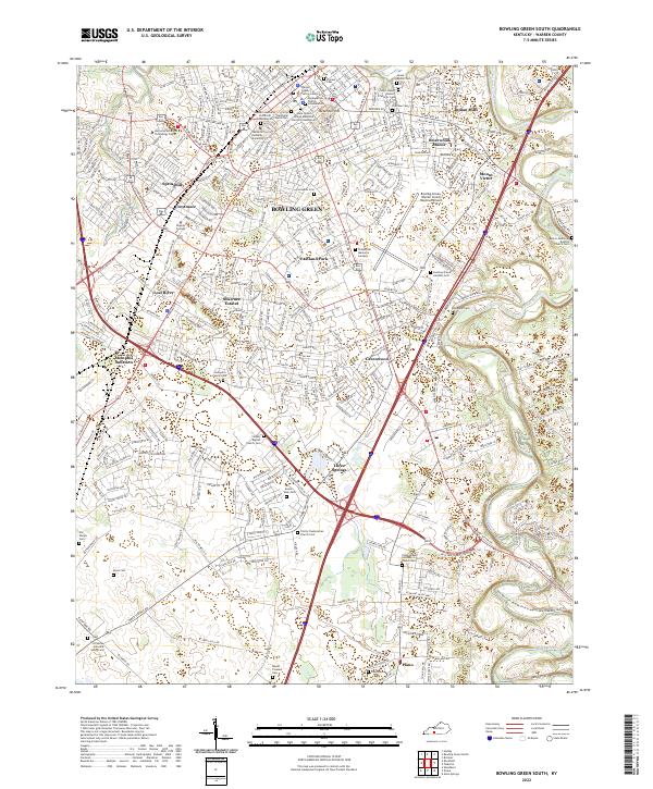
2022 Bowling Green South
Warren County, KY
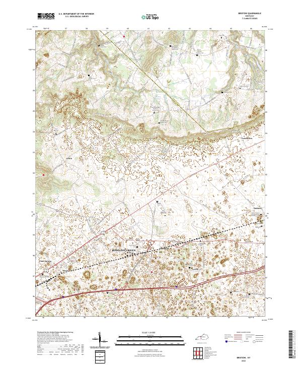
2022 Bristow
Warren County, KY
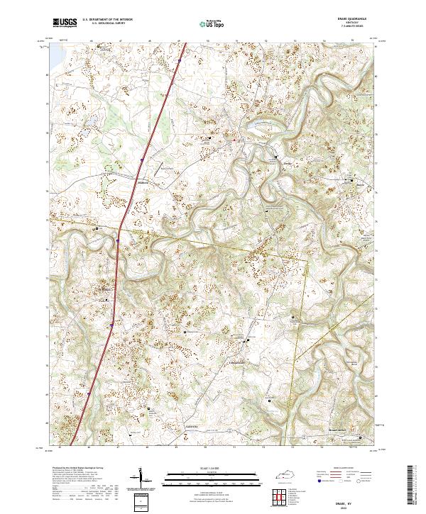
2022 Drake
Warren County, KY
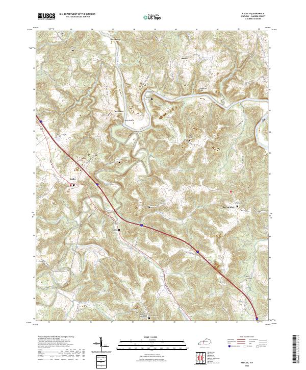
2022 Hadley
Warren County, KY
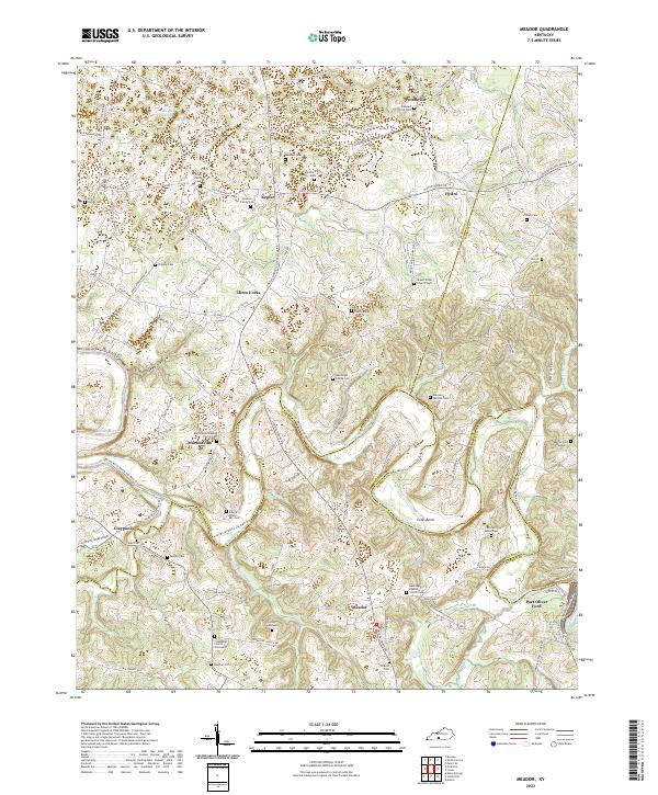
2022 Meador
Warren County, KY
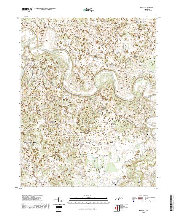
2022 Polkville
Warren County, KY
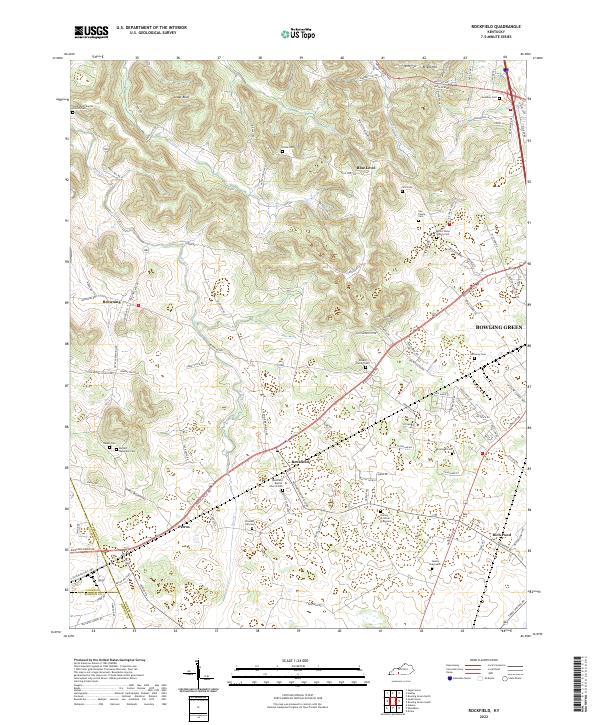
2022 Rockfield
Warren County, KY