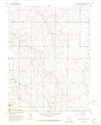
1966 Map of Box Elder School
USGS Topo · Published 1967About this map
Box Elder Creek and a series of numbered tributaries—First Creek, Second Creek, and Third Creek—carve a path through this section of the Colorado plains. In the mid-1960s, the landscape was primarily defined by agricultural infrastructure and early transit links. The Union Pacific rail line and a prominent pipeline traverse the southern portion of the area, while the East Branch Highline Canal manages water across the terrain. Small community focal points like Box Elder Sch and First Creek Sch serve as the primary landmarks in a region largely consisting of open range and scattered oil wells. The presence of the Sky Ranch Airport and the emerging Green Valley Ranch hint at the transition from rural prairie to more specialized transportation and residential use during this period.
Find a feature on this map
18 named features on this map. Tap any name to fly to it.
Don’t see what you’re looking for? This feature index may not catch every label — zoom into the map to look around manually.
Map Details
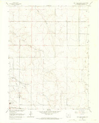
Editions of this 1966 Box Elder School Map
4 editions found
Other maps of this area

1890 · East Denver
USGS Topo · 1:125,000

1935 · East Denver Nos. 3 and 4
USGS Topo · 1:48,000

1938 · Long Branch
USGS Topo · 1:24,000

1939 · Coal Creek
USGS Topo · 1:24,000

1940 · Brighton
USGS Topo · 1:31,680

1941 · Long Branch
USGS Topo · 1:31,680

1941 · Fitzsimons
USGS Topo · 1:31,680

1942 · Mile High Lakes
USGS Topo · 1:31,680

1942 · Box Elder School
USGS Topo · 1:31,680

1942 · Coal Creek
USGS Topo · 1:31,680