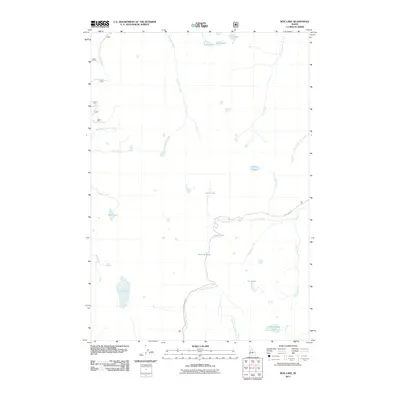
2011 Map of Box Lake
USGS Topo · Published 2011About this map
High-altitude hydrology and forest access define this part of Valley County as documented in the early twenty-first century. The landscape is dominated by a complex network of glacial catchments and drainages, most notably Box Lake and the smaller Brush Lake in the western reaches. A primary transportation artery, Lick Creek Rd, winds through the central terrain, providing the main point of human entry into this backcountry area.
Find a feature on this map
24 named features on this map. Tap any name to fly to it.
Don’t see what you’re looking for? This feature index may not catch every label — zoom into the map to look around manually.
Map Details
Editions of this 2011 Box Lake Map
This is the sole edition of this map. No revisions or reprints were ever made.
Other maps of this area
1911 · Meadows
USGS Topo · 1:125,000
1938 · Riggins
USGS Topo · 1:96,000
1945 · Riggins
USGS Topo · 1:125,000

1955 · Baker
USGS Topo · 1:250,000

1955 · Grangeville
USGS Topo · 1:250,000

1956 · Elk City
USGS Topo · 1:250,000

1957 · Challis
USGS Topo · 1:250,000

1959 · Baker
USGS Topo · 1:250,000

1959 · Grangeville
USGS Topo · 1:250,000

1960 · Elk City
USGS Topo · 1:250,000