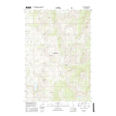
2017 Map of Box Lake
USGS Topo · Published 2017About this map
Lick Creek Summit and the high ridgelines of the Payette National Forest dominate this landscape in central Idaho. The terrain is defined by a dense network of high-altitude water bodies, including Box Lake, Hum Lake, and the small Teardrop Lake. These lakes feed numerous drainage systems such as Pearl Cr and Twentymile Cr, illustrating the complex hydrology of the Salmon River Mountains. The map reveals a wild landscape with few signs of human infrastructure beyond Lick Creek Rd and the Box Lake trail. Features like Foolhen Meadows and Beaverdam Peak provide specific landmarks for those studying the geography of Valley and Idaho counties. The presence of named basins like Burnside Lake and Sisters Lakes suggests a topography shaped by glacial activity, providing a detailed record of the area's natural heritage.
Find a feature on this map
45 named features on this map. Tap any name to fly to it.
Don’t see what you’re looking for? This feature index may not catch every label — zoom into the map to look around manually.
Map Details
Editions of this 2017 Box Lake Map
This is the sole edition of this map. No revisions or reprints were ever made.
Other maps of this area
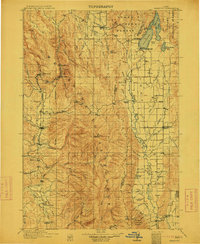
1911 · Meadows
USGS Topo · 1:125,000
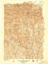
1938 · Riggins
USGS Topo · 1:96,000
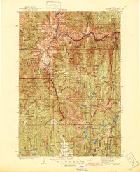
1945 · Riggins
USGS Topo · 1:125,000

1955 · Baker
USGS Topo · 1:250,000

1955 · Grangeville
USGS Topo · 1:250,000

1956 · Elk City
USGS Topo · 1:250,000

1957 · Challis
USGS Topo · 1:250,000

1959 · Baker
USGS Topo · 1:250,000

1959 · Grangeville
USGS Topo · 1:250,000

1960 · Elk City
USGS Topo · 1:250,000