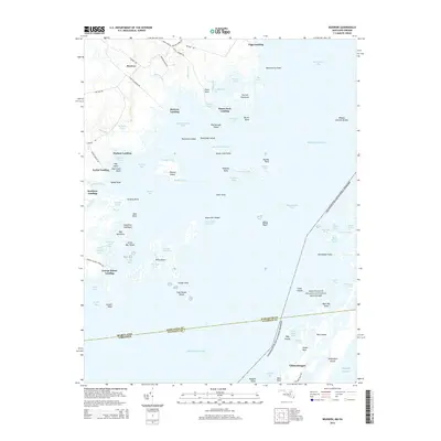
2014 Map of Boxiron
USGS Topo · Published 2014About this map
The complex shoreline of the Maryland-Virginia border defines this 2014 survey, where the mainland of Worcester and Accomack Counties meets the expansive Chincoteague Bay. Numerous historical access points dot the coast, including Boxiron Landing, Duers Neck Landing, and George Island Landing, reflecting a landscape deeply tied to the water. The interior settlement of Boxiron sits at the junction of Boxiron Creek Road and Truitts Landing Road, serving as a gateway to the marshes and creeks.
Find a feature on this map
93 named features on this map. Tap any name to fly to it.
Don’t see what you’re looking for? This feature index may not catch every label — zoom into the map to look around manually.
Map Details
Editions of this 2014 Boxiron Map
This is the sole edition of this map. No revisions or reprints were ever made.
Other maps of this area

1901 · Snow Hill
USGS Topo · 1:62,500

1901 · Green Run
USGS Topo · 1:62,500

1938 · Green Run
USGS Topo · 1:62,500

1942 · Chincoteague East
USGS Topo · 1:24,000

1942 · Snow Hill
USGS Topo · 1:24,000

1942 · Tingles Island
USGS Topo · 1:24,000

1942 · Wesley
USGS Topo · 1:24,000

1943 · Snow Hill
USGS Topo · 1:31,680

1943 · Boxiron
USGS Topo · 1:31,680

1943 · Whittington Point
USGS Topo · 1:31,680