Loading...
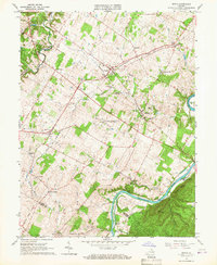
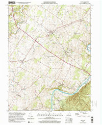
Loading map...1966 Map of Boyce
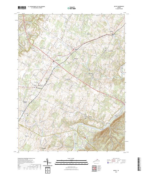
USGS Topo · Published 1967About this map
Carter Hall and the historic Greenway Court estate anchor this mid-1960s landscape of Clarke County. The area is defined by its deep colonial and agricultural roots, centered around the junction of the Norfolk and Western railroad and local trade routes. Near Millwood, the map shows the winding Shenandoah River as it passes Hardin Island and Robinson Crusoe Island, overlooked by the prominent Lovers Leap.
Find a feature on this map
51 named features on this map. Tap any name to fly to it.
Don’t see what you’re looking for? This feature index may not catch every label — zoom into the map to look around manually.
Map Details
Date Portrayed1966
Date Published1967
PublisherU.S. Geological Survey
Map TypeTopographic
Scale1:24,000
Physical Dimensions22.1 x 26.9 inches
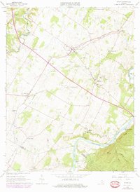
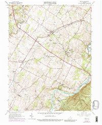
Editions of this 1966 Boyce Map
3 editions found
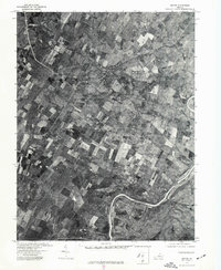
Historical Maps of Shenandoah Farms Through Time
4 maps found
Featured Locations
Source Details
SourceU.S. Geological Survey
CopyrightPublic Domain