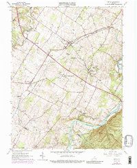
1966 Map of Boyce
USGS Topo · Published 1988About this map
The Shenandoah River cuts through the southeastern corner of this Clarke County landscape, flowing past Hardin Island, Treasure Island, and the uniquely named Robinson Crusoe Island. This mid-century survey documents a region defined by established estates and academic outposts, most notably the Blandy Experimental Farm and the historic Carter Hall grounds near Millwood. The transport network is anchored by the Norfolk And Western railroad, which links the junction at Boyce with smaller rural outposts like Briggs, White Post, and Waterloo.
Find a feature on this map
52 named features on this map. Tap any name to fly to it.
Don’t see what you’re looking for? This feature index may not catch every label — zoom into the map to look around manually.
Map Details
Editions of this 1966 Boyce Map
3 editions found
Other maps of this area

1884 · Harpers Ferry
USGS Topo · 1:125,000

1891 · Harpers Ferry
USGS Topo · 1:125,000

1893 · Luray
USGS Topo · 1:125,000

1893 · Harpers Ferry
USGS Topo · 1:125,000

1894 · Warrenton
USGS Topo · 1:125,000

1894 · Winchester
USGS Topo · 1:125,000

1905 · Luray
USGS Topo · 1:125,000

1916 · Berryville
USGS Topo · 1:62,500

1938 · Winchester
USGS Topo · 1:48,000

1939 · Front Royal
USGS Topo · 1:48,000