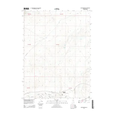
2014 Map of Boyd Reservoir
USGS Topo · Published 2014About this map
Spring Creek anchors the southern portion of this Elko County landscape, where modern residential development meets the high desert. The map shows an intricate network of streets including Country Club Pky, Blackstone Dr, and Glenvista Dr concentrated near the Spring Cr Reservoir. This suburban growth contrasts with the surrounding township sections, where water management is critical for life in the arid Great Basin. Notable landmarks like Hog Tommy Hill overlook various water sources such as Hog Spring and Tommy Spring. To the north, the terrain transitions to more open range dominated by features like Boyd Reservoir, Sandhill Reservoir, and the seasonal Dry Lake. Roads such as Boyd Kennedy Rd and CR-711 provide access to these remote reaches, tracing the path of Rabbit Cr through the high country.
Find a feature on this map
35 named features on this map. Tap any name to fly to it.
Don’t see what you’re looking for? This feature index may not catch every label — zoom into the map to look around manually.
Map Details
Editions of this 2014 Boyd Reservoir Map
This is the sole edition of this map. No revisions or reprints were ever made.
Other maps of this area
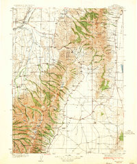
1935 · Halleck
USGS Topo · 1:125,000

1955 · Elko
USGS Topo · 1:250,000
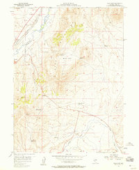
1957 · Elko East
USGS Topo · 1:24,000

1958 · Elko
USGS Topo · 1:250,000

1962 · Elko
USGS Topo · 1:250,000
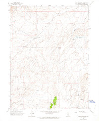
1962 · Boyd Reservoir
USGS Topo · 1:24,000
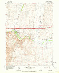
1962 · Ryndon
USGS Topo · 1:24,000
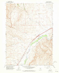
1962 · Osino
USGS Topo · 1:24,000
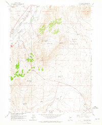
1962 · Elko East
USGS Topo · 1:24,000
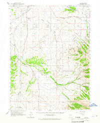
1962 · Lee
USGS Topo · 1:62,500