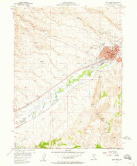
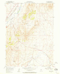
1962 Map of Elko East
USGS Topo · Published 1965About this map
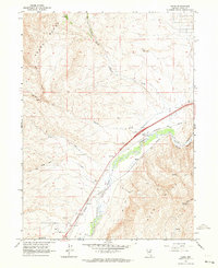
Te-Moak Indian Reservation lands dominate the northeastern quadrant of this mid-century survey, while the city of Elko begins to expand beyond its Elko corporate boundary in the northwest. The transportation corridor along the Humboldt River is densely packed with industrial and logistical infrastructure, including the parallel tracks of the Southern Pacific and Western Pacific railroads. Local communication and navigation landmarks such as Radio Station (KELK) and the Landmark Letter on the hills provide fixed points for the era's pilots and residents.
Find a feature on this map
30 named features on this map. Tap any name to fly to it.
Don’t see what you’re looking for? This feature index may not catch every label — zoom into the map to look around manually.
Map Details
Editions of this 1962 Elko East Map
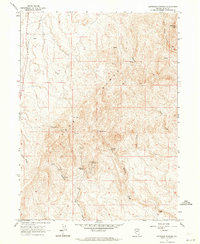
Other maps of this area

1952 · Dixie Flats
USGS Topo · 1:62,500

1955 · Elko
USGS Topo · 1:250,000
1957 · Elko West
USGS Topo · 1:24,000
1957 · Elko East
USGS Topo · 1:24,000

1958 · Elko
USGS Topo · 1:250,000

1962 · Elko
USGS Topo · 1:250,000
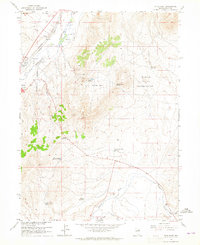
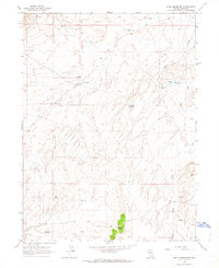
1962 · Kittridge Springs
USGS Topo · 1:24,000
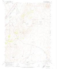
1962 · Boyd Reservoir
USGS Topo · 1:24,000
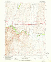
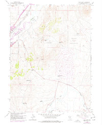
1962 · Ryndon
USGS Topo · 1:24,000
1962 · Osino
USGS Topo · 1:24,000