
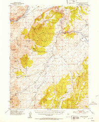
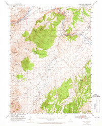
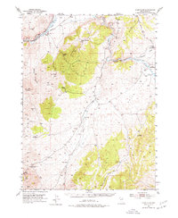
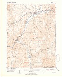
1952 Map of Dixie Flats
USGS Topo · Published 1954About this map
The Hastings Cut-Off (California Trail) winds through this high desert terrain, tracing a legacy of westward migration across White Sage Flat. This 1952 survey shows the convergence of the Southern Pacific and Western Pacific railroads along the Humboldt River, anchoring the settlement at Carlin. To the south, the Site of Old Bullion and a nearby Cem mark the remnants of earlier mining efforts near the base of the mountains.
Find a feature on this map
34 named features on this map. Tap any name to fly to it.
Don’t see what you’re looking for? This feature index may not catch every label — zoom into the map to look around manually.
Map Details
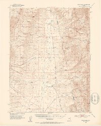
Editions of this 1952 Dixie Flats Map
4 editions found
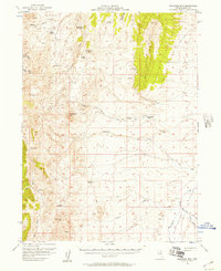
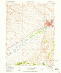
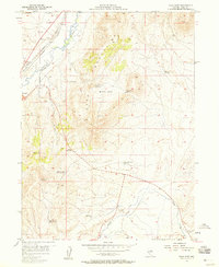
Other maps of this area

1934 · Jiggs
USGS Topo · 1:125,000

1937 · Jiggs
USGS Topo · 1:125,000
1952 · Pine Valley
USGS Topo · 1:62,500
1952 · Carlin
USGS Topo · 1:62,500

1955 · Winnemucca
USGS Topo · 1:250,000

1955 · Elko
USGS Topo · 1:250,000
1956 · Robinson Mtn
USGS Topo · 1:62,500
1957 · Elko West
USGS Topo · 1:24,000
1957 · Elko East
USGS Topo · 1:24,000

1958 · Winnemucca
USGS Topo · 1:250,000