
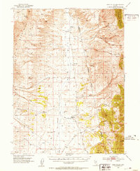
1952 Map of Pine Valley
USGS Topo · Published 1954About this map
The Cortez Mountains and Pinon Range frame this high-desert landscape in the early 1950s, where water sources dictate the placement of early Great Basin homesteads. A series of family-held operations, including the Tomera Ranch, Rand Ranch, and Hay Ranch, are situated along the perennial drainage of Pine Creek. The map records a critical transition in regional infrastructure, noting a Dismantled Railroad that once serviced this corridor, while the Indian Campground near Lee Flat indicates long-standing seasonal use of the basin. Thermal activity is evident at Hot Springs and Hot Creek, while higher elevations feature prominent landmarks such as Coffin Mtn and the complex terrain of Smith Creek Basin. This survey documents a ranching economy still reliant on isolated springs and canyons before modern development altered the remote character of the Elko and Eureka county line.
Find a feature on this map
53 named features on this map. Tap any name to fly to it.
Don’t see what you’re looking for? This feature index may not catch every label — zoom into the map to look around manually.
Map Details
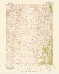
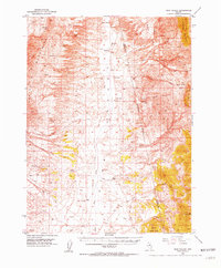
Editions of this 1952 Pine Valley Map
4 editions found
Other maps of this area

1934 · Jiggs
USGS Topo · 1:125,000

1937 · Mineral Hill
USGS Topo · 1:48,000

1937 · Jiggs
USGS Topo · 1:125,000

1943 · Mineral Hill
USGS Topo · 1:62,500

1952 · Dixie Flats
USGS Topo · 1:62,500

1952 · Carlin
USGS Topo · 1:62,500

1955 · Winnemucca
USGS Topo · 1:250,000

1955 · Elko
USGS Topo · 1:250,000

1956 · Robinson Mtn
USGS Topo · 1:62,500

1957 · Frenchie Creek
USGS Topo · 1:62,500