1956 Map of Robinson Mtn
USGS Topo · Published 1957About this map
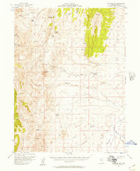
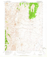
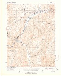
Huntington Valley and the high desert terrain of eastern Nevada define this mid-century topographic record. The landscape is marked by the presence of isolated cattle operations and seasonal range improvements, reflecting the area's ranching heritage. Several named family outposts, including Elliott High Ranch, Hackwood Ranch, and the Old Porter Ranch, are situated along the edges of the high peaks.
Find a feature on this map
35 named features on this map. Tap any name to fly to it.
Don’t see what you’re looking for? This feature index may not catch every label — zoom into the map to look around manually.
Map Details
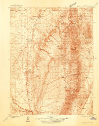
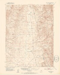
Editions of this 1956 Robinson Mtn Map
2 editions found
Other maps of this area

1934 · Jiggs
USGS Topo · 1:125,000
1937 · Mineral Hill
USGS Topo · 1:48,000

1937 · Jiggs
USGS Topo · 1:125,000

1943 · Mineral Hill
USGS Topo · 1:62,500

1952 · Dixie Flats
USGS Topo · 1:62,500
1952 · Pine Valley
USGS Topo · 1:62,500
1952 · Carlin
USGS Topo · 1:62,500

1955 · Winnemucca
USGS Topo · 1:250,000

1955 · Elko
USGS Topo · 1:250,000

1958 · Winnemucca
USGS Topo · 1:250,000