
1962 Map of Kittridge Springs
USGS Topo · Published 1964About this map
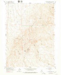
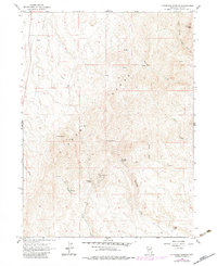
The Adobe Range dominates this corner of Elko County, defining a landscape shaped by high peaks and seasonal water sources in the early 1960s. The terrain is punctuated by significant elevations like Sherman Peak and the dual summits of East Twin, while a network of drainages including Sixteenmile Creek and Eightmile Creek carve through the high country. Human presence is sparse but concentrated around essential resources, notably at the Kittridge Ranch and the namesake Kittridge Springs. This period of land use is marked by a mix of traditional ranching and modern infrastructure, evidenced by a Radio Facility situated south of the main springs. A solitary Jeep Trail traverses the central ridges, illustrating the limited accessibility of this interior basin region before more extensive road networks were developed. For researchers, the map provides a clear record of established spring locations like Cherry Spring and Eightmile Spring that were vital to regional livestock operations.
Find a feature on this map
19 named features on this map. Tap any name to fly to it.
Don’t see what you’re looking for? This feature index may not catch every label — zoom into the map to look around manually.
Map Details
Editions of this 1962 Kittridge Springs Map
Other maps of this area

1955 · Wells
USGS Topo · 1:250,000

1955 · Elko
USGS Topo · 1:250,000

1957 · Elko West
USGS Topo · 1:24,000

1957 · Elko East
USGS Topo · 1:24,000

1958 · Wells
USGS Topo · 1:250,000

1958 · Elko
USGS Topo · 1:250,000

1958 · Singletree Creek
USGS Topo · 1:24,000

1958 · Hunter
USGS Topo · 1:24,000

1958 · Doby Summit
USGS Topo · 1:24,000

1961 · Wells
USGS Topo · 1:250,000