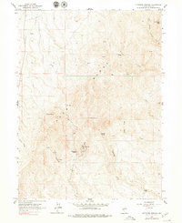
1962 Map of Kittridge Springs
USGS Topo · Published 1979About this map
The Adobe Range dominates this corner of Elko County, where the high desert terrain is defined by a network of seasonal drainages and essential water sources. Surveyed in the early 1960s, the landscape centers on Kittridge Springs and the namesake Kittridge Ranch to the south. This era of the Nevada interior shows a mix of traditional ranching geography and mid-century utility, evidenced by the Bell Radio Facility positioned near the center of the sheet. Numerous vital water points like Eightmile Spring and Cherry Spring are mapped along the slopes, feeding into systems such as Sixteenmile Creek and Eightmile Creek. A lonely Jeep Trail provides the primary means of navigation through the high country between Sherman Peak and the White Rock Creek drainage.
Find a feature on this map
18 named features on this map. Tap any name to fly to it.
Don’t see what you’re looking for? This feature index may not catch every label — zoom into the map to look around manually.
Map Details
Editions of this 1962 Kittridge Springs Map

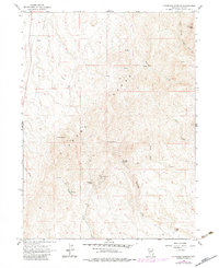
Other maps of this area

1955 · Wells
USGS Topo · 1:250,000

1955 · Elko
USGS Topo · 1:250,000

1957 · Elko West
USGS Topo · 1:24,000

1957 · Elko East
USGS Topo · 1:24,000

1958 · Wells
USGS Topo · 1:250,000

1958 · Elko
USGS Topo · 1:250,000

1958 · Singletree Creek
USGS Topo · 1:24,000

1958 · Hunter
USGS Topo · 1:24,000

1958 · Doby Summit
USGS Topo · 1:24,000

1961 · Wells
USGS Topo · 1:250,000