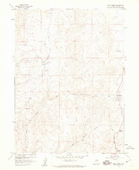
1958 Map of Doby Summit
USGS Topo · Published 1960About this map
Adobe Ranch and the surrounding drainage basins of Elko County define this high-altitude landscape. During the mid-1950s, this area was characterized by its seasonal water sources and rugged transit corridors, where a network of watercourses including Suzie Creek, Swales Creek, and Adobe Creek carved through the terrain. The presence of several Gravel Pit locations near the main roads suggests local material extraction to support the region's infrastructure, while the naming of Bartel Springs indicates the vital importance of groundwater for ranching operations in this arid environment.
Find a feature on this map
14 named features on this map. Tap any name to fly to it.
Don’t see what you’re looking for? This feature index may not catch every label — zoom into the map to look around manually.
Map Details
Editions of this 1958 Doby Summit Map
This is the sole edition of this map. No revisions or reprints were ever made.
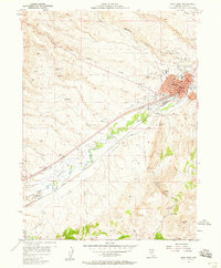
Other maps of this area

1955 · McDermitt
USGS Topo · 1:250,000

1955 · Wells
USGS Topo · 1:250,000

1955 · Winnemucca
USGS Topo · 1:250,000

1955 · Elko
USGS Topo · 1:250,000
1957 · Elko West
USGS Topo · 1:24,000

1958 · Winnemucca
USGS Topo · 1:250,000

1958 · Wells
USGS Topo · 1:250,000

1958 · Elko
USGS Topo · 1:250,000
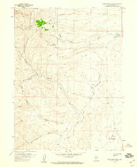
1958 · Singletree Creek
USGS Topo · 1:24,000
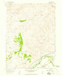
1958 · Hunter
USGS Topo · 1:24,000