Old Maps of Elko, Nevada
Explore 23 old maps of Elko, spanning from 1955 to today. These high-resolution historic maps reveal how streets, neighborhoods, landmarks, and natural features evolved over time — perfect for genealogy, metal detecting, research, and local history exploration.
What you can do with these maps:
- See how Elko changed over time: Compare historical maps to modern-day views to trace roads, homesites, rail lines & more.
- View detailed metadata: Each map includes creators, publishers, year, scale, and archive source.
- Overlay maps with satellite & LiDAR: Visualize the past alongside modern tools to explore terrain & human change.
- Trusted historical sources: Maps sourced from the USGS, Library of Congress, and other archives.
- Access maps your way: View online, download high-res files, or order prints for personal or research use.
Start exploring old maps of Elko to uncover forgotten places, hidden landmarks, and the deep history beneath your feet.
Elko, NV maps
(23)- 1955 Map of Elko, 1974 Print
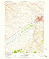
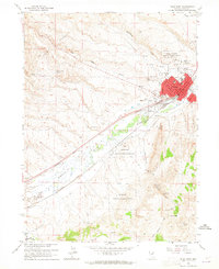
 1955 Elko1974 Print · USGSNortheastern Nevada in the mid-fifties is captured here as a crossroads of transcontinental rail and high desert ranching. Trace old rail stops from Wells to Elko or find remote landmarks like Shanty Town and Medicine Spring.3 unique versions available
 - 1957 Map of Elko West, 1958 Print
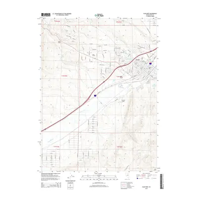
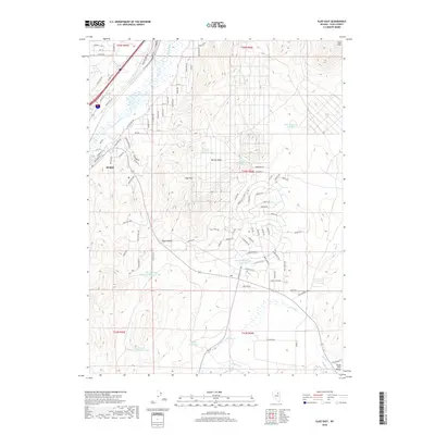
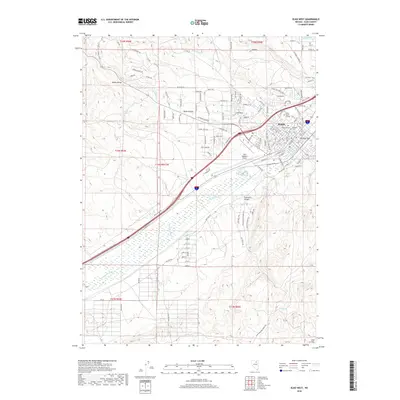
 1957 Elko West1958 Print · USGSElko emerged as a major rail and aviation hub by the late 1950s, bridging the gap between old stage routes and modern infrastructure. Genealogists and historians can trace the city’s footprint from the Elko Colony Indian Reservation to the Cemeteries and the Elko-Hamilton Stage Route.
 - 1957 Map of Elko East, 1958 Print
 1957 Elko East1958 Print · USGSElko was expanding into the high desert during the late fifties as the regional rail and river network shaped its growth. Researchers can trace the dual tracks of the Southern Pacific and Western Pacific or find landmarks like Radio Station (KELK) and Burner Basin.
 - 1958 Map of Elko
 1958 Elko1958 Print · USGSNorthern Nevada in the late fifties shows a landscape of high-desert ranching and Cold War aviation. Trace old rail lines like the Nevada Northern or locate the Victoria Mine and Wendover Air Force Base.2 unique versions available
 - 1962 Map of Elko
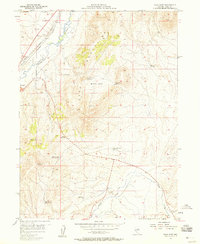
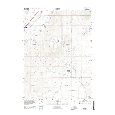
 1962 Elko1962 Print · USGSNortheastern Nevada in the early sixties is a landscape of mountain ranges and rail corridors, where the river valleys support ranching and transit. Locate old mining operations like Battle Creek Mine, rural stops like Moleen, and the sprawling Wendover Bombing and Gunnery Range.
 - 1962 Map of Osino, 1964 Print
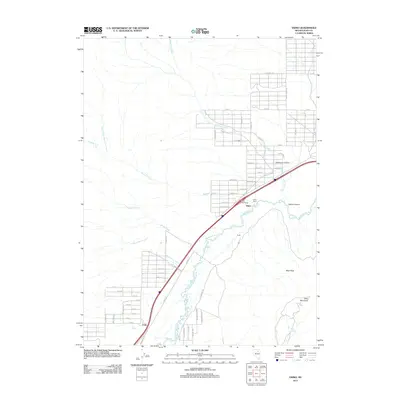
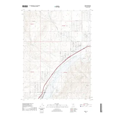
 1962 Osino1964 Print · USGSOsino and the Humboldt River valley are seen here in the early sixties as a vital crossroads for the rail and ranching economy. Genealogists and historians can trace the paths of the Southern Pacific and the grounds of the Nevada Youth Training Center.3 unique versions available
 - 1962 Map of Elko East, 1965 Print
 1962 Elko East1965 Print · USGSElko's eastern outskirts and the surrounding high-desert basins are captured here during a period of steady mid-century growth. Researchers can trace the dual rail lines of the Southern Pacific and Western Pacific or locate early landmarks like Radio Station (KELK) and the Te-Moak Indian Reservation.3 unique versions available
 - 1962 Map of Elko West, 1965 Print
 1962 Elko West1965 Print · USGSElko underwent significant expansion during the early sixties, as shown on this survey of the river valley and rail corridor. Researchers can locate the Elko Colony Indian Reservation, the old Elko-Hamilton Stage Route, and the Elko Municipal Airport.3 unique versions available
 - 1965 Map of Elko
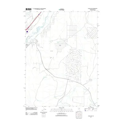
 1965 Elko1965 Print · USGSElko and the northeastern Nevada desert are captured here in the mid-1960s, showcasing a landscape of high ranges and essential rail corridors. Researchers can trace the path of the Western Pacific railroad through small stops like Tobar and Ventosa, or locate remote sites like Shanty Town near the Ruby Lake wetlands.
 - 1975 Map of Elko East, 1977 Print
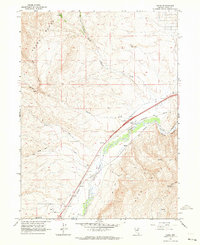
 1975 Elko East1977 Print · USGSElko was entering a period of significant growth in the mid-1970s as new subdivisions began to push into the surrounding landscape. Researchers can trace the development of residential street patterns near the Humboldt River and the rural area around Tenmile Creek.
 - 1986 Map of Elko
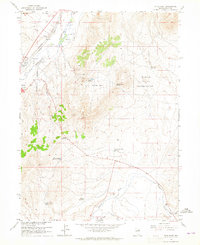
 1986 Elko1986 Print · USGSThe Humboldt River basin in the mid-eighties shows a landscape of ranching, transit, and high-desert peaks. Trace the rail-and-road corridor through Elko, or locate remote sites like the Polar Star Mine and South Fork Indian Reservation.
 - 2012 Map of Elko West, 2012 Print
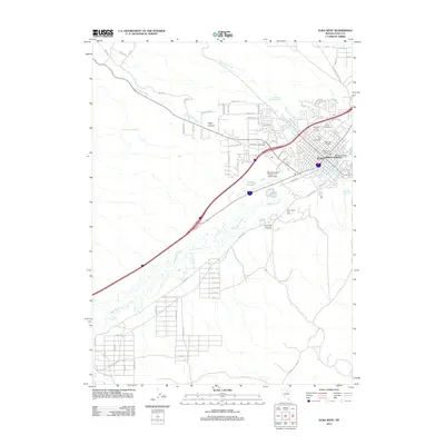 2012 Elko West2012 Print · USGSCovers Elko, including Elko County, United States, and other nearby areas
 - 2012 Map of Elko East, 2012 Print
 2012 Elko East2012 Print · USGSCovers Elko, including Elko County, United States, and other nearby areas
 - 2012 Map of Osino, 2012 Print
 2012 Osino2012 Print · USGSCovers Elko, including Osino, Elko County, and other nearby areas
 - 2014 Map of Osino, 2014 Print
 2014 Osino2014 Print · USGSCovers Elko, including Osino, Elko County, and other nearby areas
 - 2014 Map of Elko East, 2014 Print
 2014 Elko East2014 Print · USGSCovers Elko, including Elko County, United States, and other nearby areas
 - 2015 Map of Elko West, 2015 Print
 2015 Elko West2015 Print · USGSCovers Elko, including Elko County, United States, and other nearby areas
 - 2018 Map of Elko East, 2018 Print
 2018 Elko East2018 Print · USGSCovers Elko, including Elko County, United States, and other nearby areas
 - 2018 Map of Osino, 2018 Print
 2018 Osino2018 Print · USGSCovers Elko, including Osino, Elko County, and other nearby areas
 - 2018 Map of Elko West, 2018 Print
 2018 Elko West2018 Print · USGSCovers Elko, including Elko County, United States, and other nearby areas
 - 2021 Map of Elko East, 2021 Print
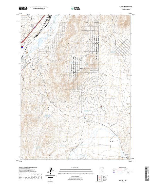 2021 Elko East2021 Print · USGSElko expands into the high desert landscape of northeastern Nevada during the early twenty-first century. Researchers can trace modern infrastructure and terrain features from the Union Pacific RR corridor to remote landmarks like Burner Basin Spring and Moffat Reservoir.
 - 2021 Map of Osino, 2021 Print
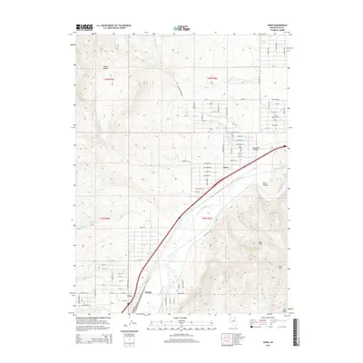
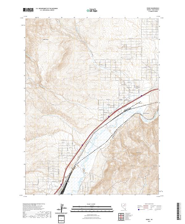 2021 Osino2021 Print · USGSElko County in the early twenty-first century shows a landscape where high-desert terrain meets the essential Humboldt River corridor. Researchers can trace the path of Old Hwy 40 past Osino or locate family-named landmarks like Jackstone Canyon and Mud Springs.
 - 2021 Map of Elko West, 2021 Print
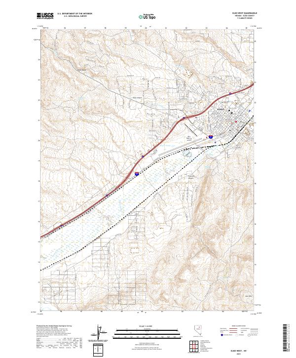 2021 Elko West2021 Print · USGSElko and the Humboldt River valley are shown in the twenty-first century as they continue to serve as the heart of Northeast Nevada. Genealogists and historians can trace the development of Missouri Flat, locate the Elko County Courthouse, and find family names at Elko Cem.
End of results
Showing maps 1-23 of 23
Top cities near Elko
Frequently asked questions
- What are the different types of historical maps available for Elko?
- What is the oldest map of Elko?
- Where can I purchase historical maps of Elko for my home or office?
- Where can I download high-res historical maps of Elko?
- Are there historical topographic maps available for Elko?
- Is there historical aerial imagery available for Elko?
- Where are historical maps of Elko sourced from?