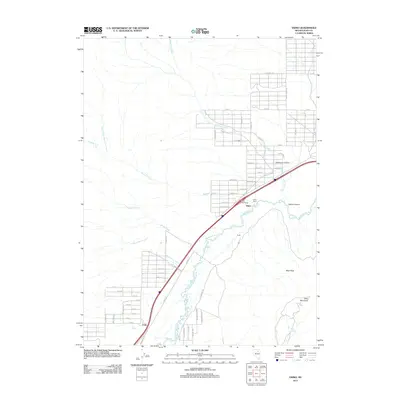
2012 Map of Osino
USGS Topo · Published 2012About this map
The Humboldt River corridor dominates this map, serving as the primary artery for both transportation and settlement in Elko County. The community of Osino is the focal point, situated where the river valley narrows between the rugged heights of Osino Canyon and the surrounding high desert. The layout reveals a distinct pattern of modern residential expansion north of the river, with street names like Chippewa Ave and Apache St defining a growing grid that contrasts with the traditional rural character of the Osino Ranch.
Find a feature on this map
68 named features on this map. Tap any name to fly to it.
Don’t see what you’re looking for? This feature index may not catch every label — zoom into the map to look around manually.
Map Details
Editions of this 2012 Osino Map
This is the sole edition of this map. No revisions or reprints were ever made.
Other maps of this area

1955 · Wells
USGS Topo · 1:250,000

1955 · Elko
USGS Topo · 1:250,000

1957 · Elko West
USGS Topo · 1:24,000

1957 · Elko East
USGS Topo · 1:24,000

1958 · Wells
USGS Topo · 1:250,000

1958 · Elko
USGS Topo · 1:250,000

1961 · Wells
USGS Topo · 1:250,000

1962 · Elko
USGS Topo · 1:250,000

1962 · Kittridge Springs
USGS Topo · 1:24,000

1962 · Boyd Reservoir
USGS Topo · 1:24,000