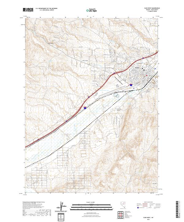
2021 Map of Elko West
USGS Topo · Published 2021About this map
The Humboldt River corridor defines the landscape of this high desert region, where the city of Elko serves as a vital hub of transportation and administration. This contemporary view shows the urban core concentrated around the Elko County Courthouse and Great Basin College, balanced by industrial and residential expansion into the surrounding Adobe Range and Elko Hills. Geothermal features such as Elko Hot Springs and the Hot Hole underscore the valley's distinct geology.
Find a feature on this map
133 named features on this map. Tap any name to fly to it.
Don’t see what you’re looking for? This feature index may not catch every label — zoom into the map to look around manually.
Map Details
Editions of this 2021 Elko West Map
This is the sole edition of this map. No revisions or reprints were ever made.
Other maps of this area

1952 · Dixie Flats
USGS Topo · 1:62,500

1955 · Elko
USGS Topo · 1:250,000

1957 · Elko West
USGS Topo · 1:24,000

1957 · Elko East
USGS Topo · 1:24,000

1958 · Elko
USGS Topo · 1:250,000

1958 · Hunter
USGS Topo · 1:24,000

1958 · Doby Summit
USGS Topo · 1:24,000

1962 · Elko
USGS Topo · 1:250,000

1962 · Kittridge Springs
USGS Topo · 1:24,000

1962 · Osino
USGS Topo · 1:24,000