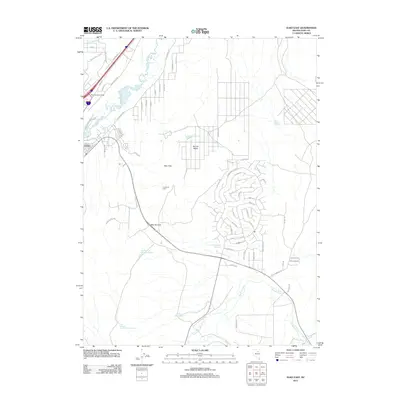
2012 Map of Elko East
USGS Topo · Published 2012About this map
The Humboldt River and its meandering path dominate the northern portion of this Nevada landscape, where the eastern reaches of Elko expand into the surrounding hills. This 2012 topographic survey details a high-desert environment defined by essential water management, including several named catchments such as Dewar Reservoir, Moffat Reservoir, and the Lamoille Highway Reservoir. The infrastructure of the area is anchored by the Elko East Interchange, facilitating movement between the urban center and the residential subdivisions spreading toward the Elko Hills. Significant natural drainages like Tenmile Creek and Mitchell Creek cut through the terrain south of the Elko Summit, illustrating the complex hydrology required to sustain this Great Basin community. Notable landmarks like the Landmark Letter on the hillside and Burner Basin Spring provide specific points of reference for local historians tracing the modern development of the region.
Find a feature on this map
72 named features on this map. Tap any name to fly to it.
Don’t see what you’re looking for? This feature index may not catch every label — zoom into the map to look around manually.
Map Details
Editions of this 2012 Elko East Map
This is the sole edition of this map. No revisions or reprints were ever made.
Other maps of this area

1952 · Dixie Flats
USGS Topo · 1:62,500

1955 · Elko
USGS Topo · 1:250,000

1957 · Elko West
USGS Topo · 1:24,000

1957 · Elko East
USGS Topo · 1:24,000

1958 · Elko
USGS Topo · 1:250,000

1962 · Elko
USGS Topo · 1:250,000

1962 · Kittridge Springs
USGS Topo · 1:24,000

1962 · Boyd Reservoir
USGS Topo · 1:24,000

1962 · Ryndon
USGS Topo · 1:24,000

1962 · Osino
USGS Topo · 1:24,000