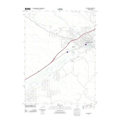
2012 Map of Elko West
USGS Topo · Published 2012About this map
Elko serves as the focal point of this Nevada survey, where the Humboldt River winds through the valley and defines the local geography. The city's growth is evident in the residential expansion of Ballous Addition and Missouri Flat, while historical markers like the Elko City Cemetery and Masonic Cemetery provide significant genealogical touchstones. The transportation and infrastructure of the early 21st century are well-documented, featuring the Elko Municipal Airport-J C Harris Field and the Elko Downtown Interchange.
Find a feature on this map
74 named features on this map. Tap any name to fly to it.
Don’t see what you’re looking for? This feature index may not catch every label — zoom into the map to look around manually.
Map Details
Editions of this 2012 Elko West Map
This is the sole edition of this map. No revisions or reprints were ever made.
Other maps of this area

1952 · Dixie Flats
USGS Topo · 1:62,500

1955 · Elko
USGS Topo · 1:250,000

1957 · Elko West
USGS Topo · 1:24,000

1957 · Elko East
USGS Topo · 1:24,000

1958 · Elko
USGS Topo · 1:250,000

1958 · Hunter
USGS Topo · 1:24,000

1958 · Doby Summit
USGS Topo · 1:24,000

1962 · Elko
USGS Topo · 1:250,000

1962 · Kittridge Springs
USGS Topo · 1:24,000

1962 · Osino
USGS Topo · 1:24,000