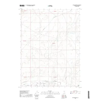
2018 Map of Boyd Reservoir
USGS Topo · Published 2018About this map
South Fork Valley anchors the southern portion of this Elko County landscape, where modern residential development meets the high desert floor. Street grids around Country Club Pkwy and Spring Creek Pkwy reflect the suburban expansion of the 21st century, organized along thoroughfares like Lower Lamoille Rd. This residential growth is bounded by traditional ranching and water features, including the eponymous Boyd Reservoir and the more seasonal Dry Lake.
Find a feature on this map
35 named features on this map. Tap any name to fly to it.
Don’t see what you’re looking for? This feature index may not catch every label — zoom into the map to look around manually.
Map Details
Editions of this 2018 Boyd Reservoir Map
This is the sole edition of this map. No revisions or reprints were ever made.
Other maps of this area
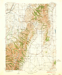
1935 · Halleck
USGS Topo · 1:125,000

1955 · Elko
USGS Topo · 1:250,000
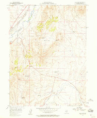
1957 · Elko East
USGS Topo · 1:24,000

1958 · Elko
USGS Topo · 1:250,000

1962 · Elko
USGS Topo · 1:250,000
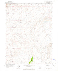
1962 · Boyd Reservoir
USGS Topo · 1:24,000
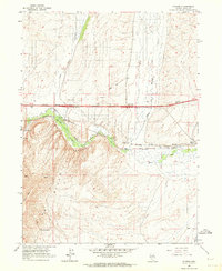
1962 · Ryndon
USGS Topo · 1:24,000
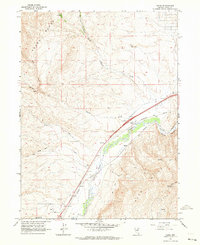
1962 · Osino
USGS Topo · 1:24,000
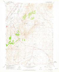
1962 · Elko East
USGS Topo · 1:24,000
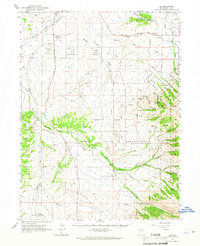
1962 · Lee
USGS Topo · 1:62,500